Marshall Rare Books
A Correct GLOBE with the new Discoveries
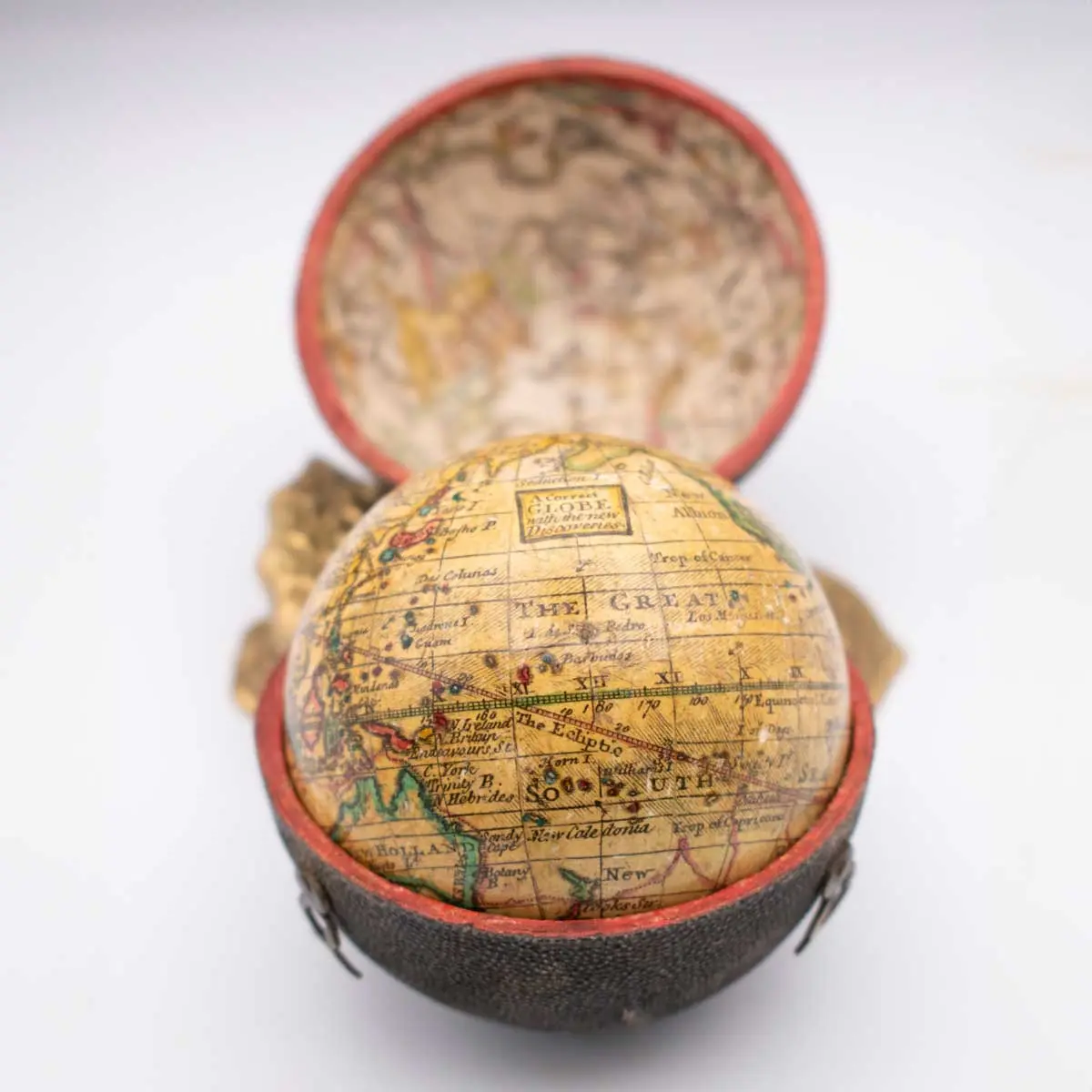
A 3inch (68mm) diameter Herman Moll pocket globe in a fish skin covered wood case with 2 brass swivel hooks and eyes. 12 copper-engraved hand-coloured gores over papier-maché and plaster sphere, case lined with celestial maps of the northern and southern skies. Small crack to case, globe surface slightly rubbed, London, c.1775.
The Terrestrial Globe shows Australia and New Zealand, with Leuwens land, Diemens Island, Botany Bay labelled. California is a peninsula, the North West is labelled as Parts Unknown. The track of Cook’s first voyage (1770) is drawn in red.
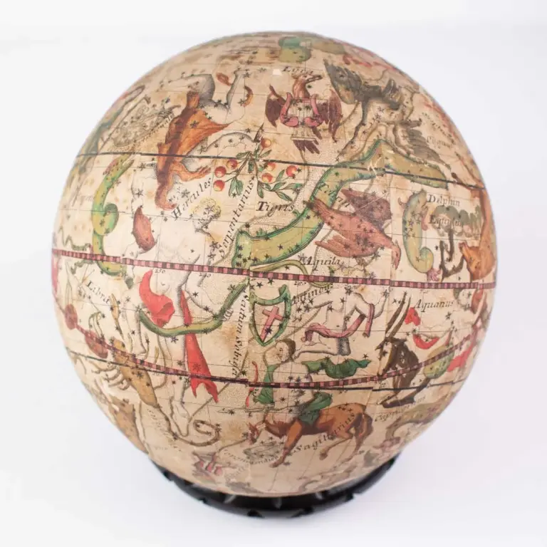
Moll, a German-born cartographer, was quite involved in contemporary intellectual life. He was friendly and acquainted with Robert Boyle, Robert Hooke and William Dampier, both socially and likely through the Royal Society. A pocket globe by Moll and dated 1719 is in the National Maritime Museum collection Greenwich. It is suggested that the gores were republished in about 1775 with alterations to Australia and New Zealand coastline and showing James Cook’s voyage of 1760 and California shown as a peninsular rather than as an island.
![[POCKET GLOBE] Lane’s Improved Globe](https://marshallrarebooks.com/wp-content/uploads/2026/06/Lane-Terrestrial-globe-768x768.webp)
![[POCKET GLOBE] Die Erde/The Earth](https://marshallrarebooks.com/wp-content/uploads/2026/06/Klinger-Globe-3-768x768.webp)