
 Marshall Rare Books
Atlases & Maps
Rare atlases by important mapmakers
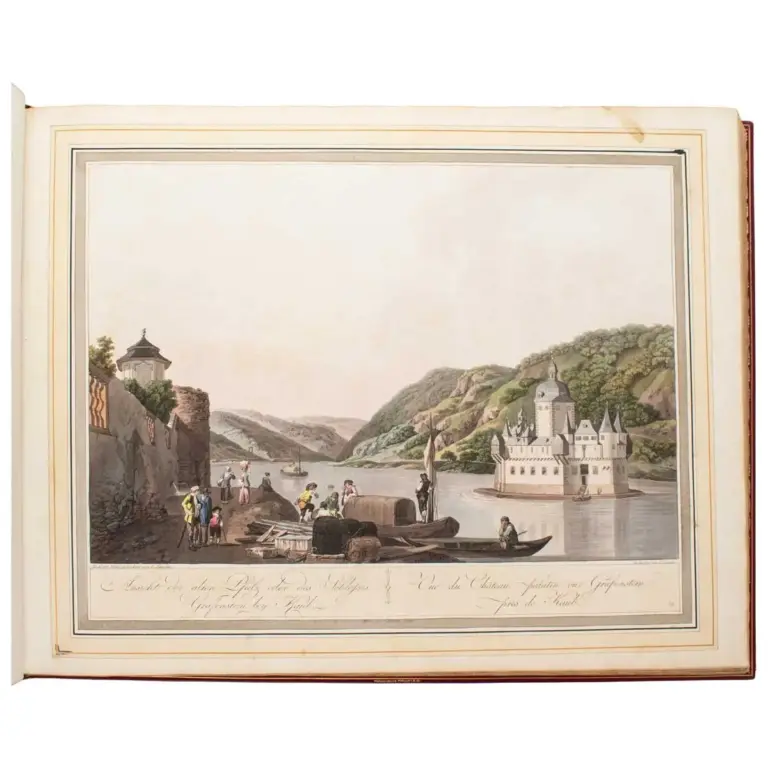
Collection de Cinquante Vues du Rhin. depuis Spire jusqu’à Dusseldorf Dessinees sur lieux d’apres Natur 1798.
A magnificent series of finely hand-coloured views of the rhine
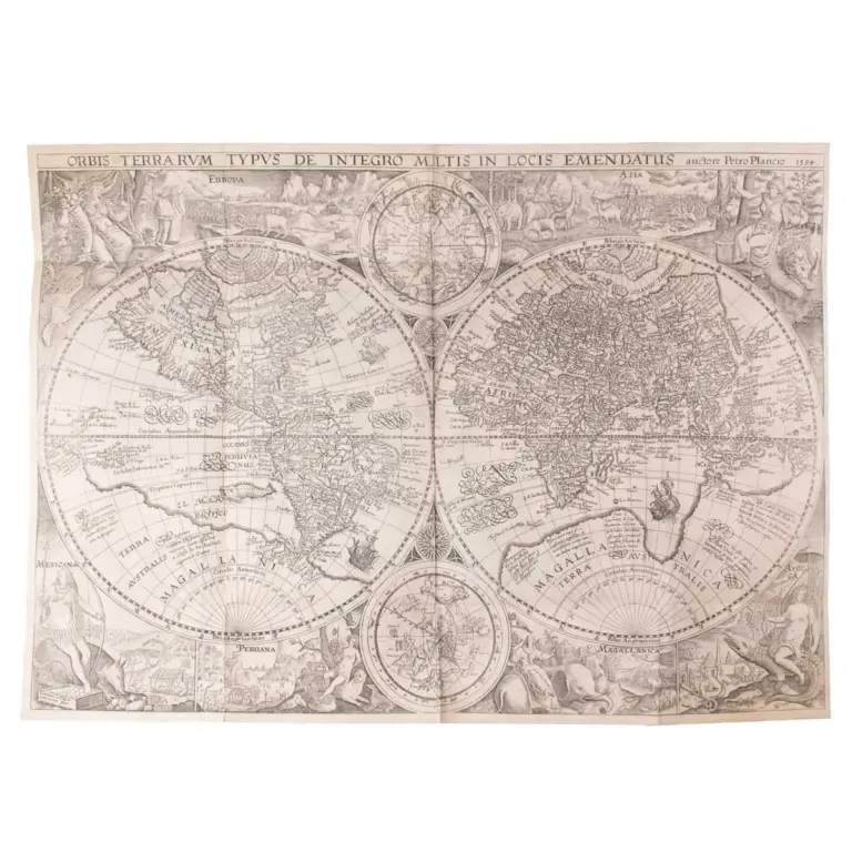
Histoire de la navigation aux Indes Orientales. Contenant diverses Descriptions des lieux iusques à présent descoverts par les Portugais
The Earliest Work To Include Precise Sailing Directions To The Indies
Hidden gem
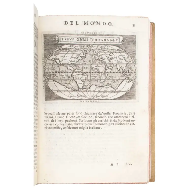
Il theatro del mondo nelquale distintamente si dimonstrano in tavole tutte le provincie, regni e paesi … ridotto dalla forma grande in questa piccola…
Earliest edition of the Epitome of Ortelius and of the translation by Filippo Pigafetta (1533-1604), to appear in Italy.
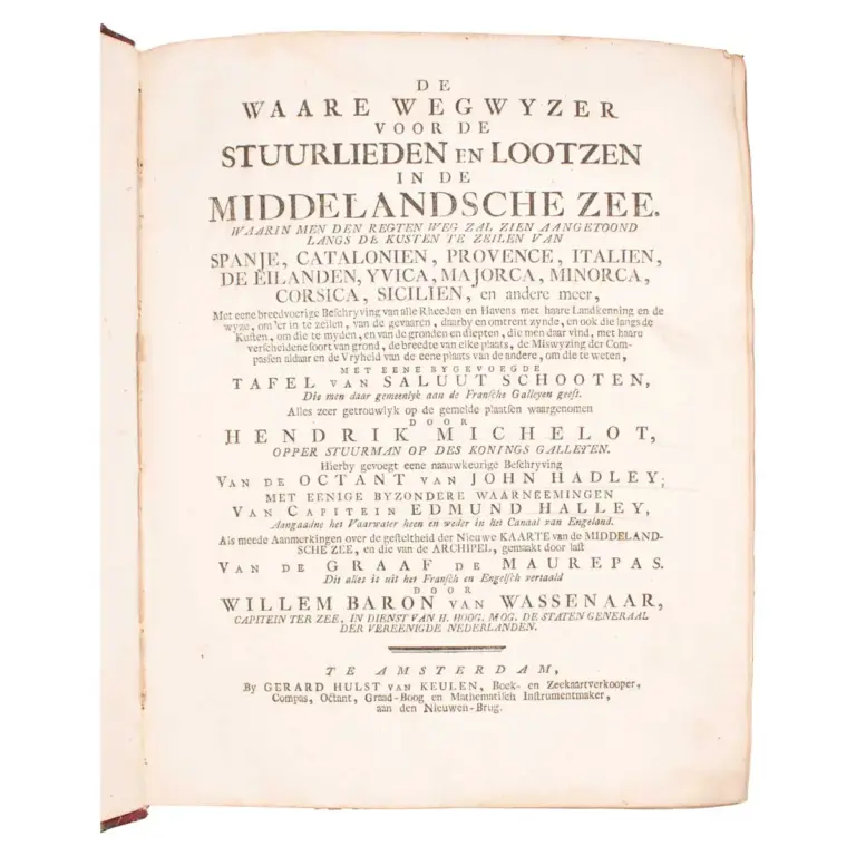
De Waare Wegwyzer voor de Stuurlieden en Lootzen in de Middelansche Zee … Hierbygevoegt eene naauwkeurige beschryving van de octant van John Hadley
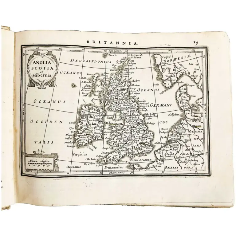
Atlas Minor
A fine complete copy with a total of 2 illustrated title pages and 215 full-page engraved maps ,
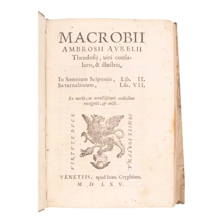
In Somnium Scipionis, Lib. II. Saturnaliorum, Lib. VII. Ex variis, ac vetustissimis codicibus recogniti, & aucti…
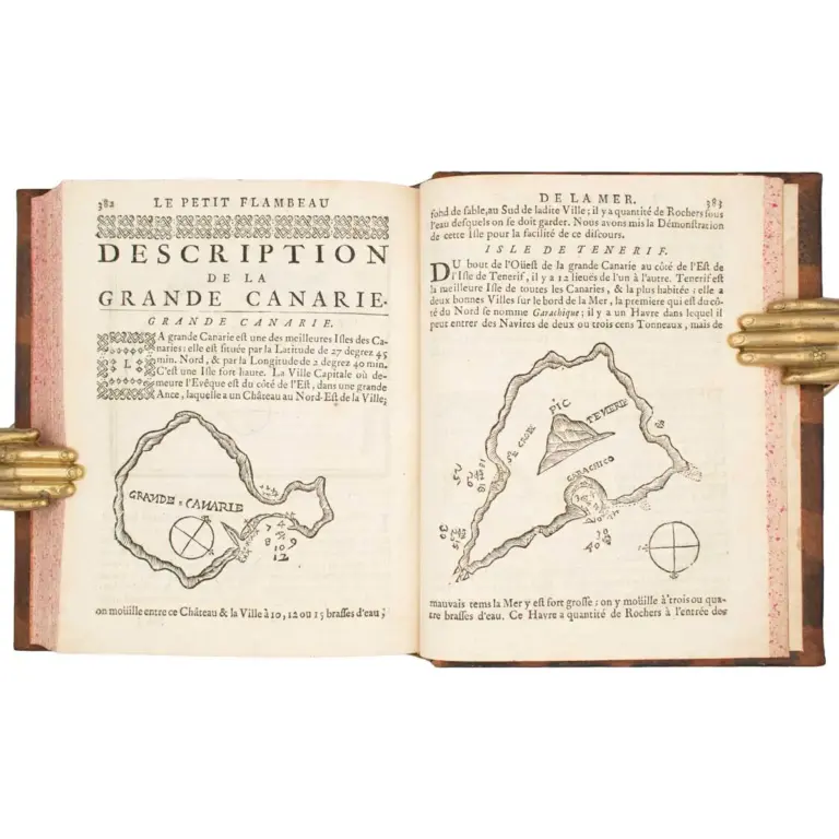
Le Petit Flambeau de la mer ou le veritable guide des Pilotes côtier … de naviguer le long de toutes les côtes de France, d’Angleterre, d’Irland, d’Espagne, de Portugal, d’Italie, de Sicile
A beautifully prepared Pilot and important navigation manual for voyages to and from the East Indies.
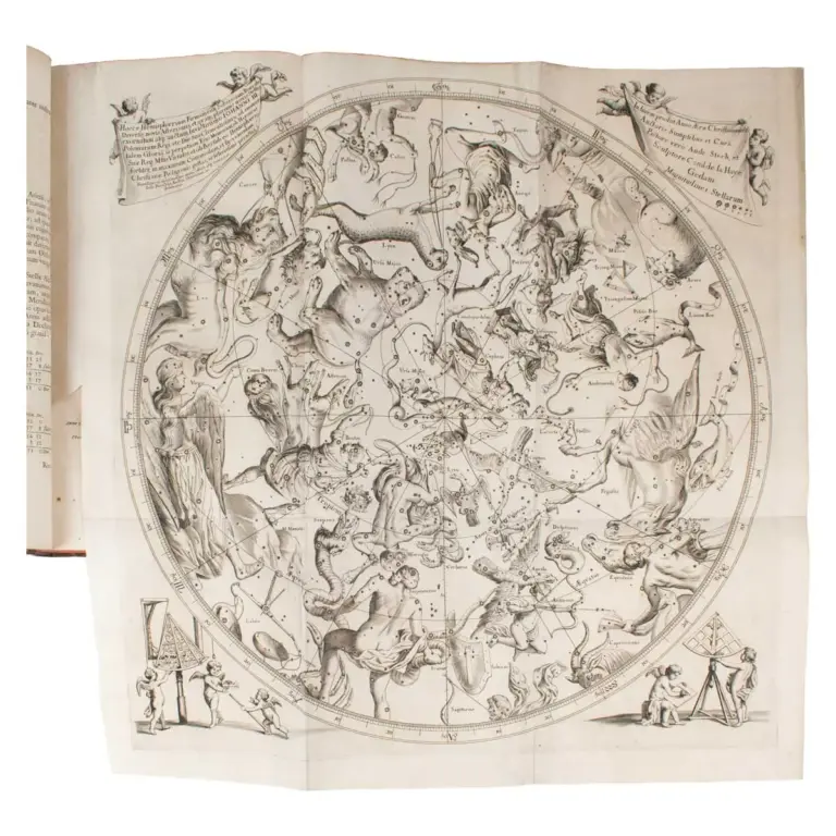
Prodromus Astronomiae, exhibens fundamenta, quae tam ad novum plane & correctiorem stellarum fixarum catalogum construendum.
Hidden gem
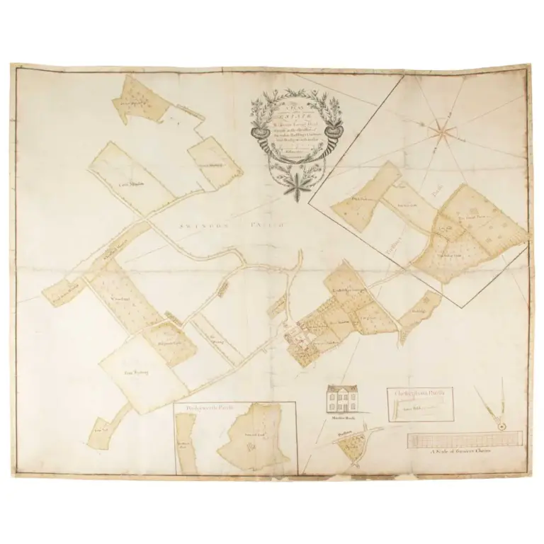
A Plan of the Estate of William Long, Gent. Situate in the parishes of Swindon, Prestbury, Cheltenham and Badgeworth in the County of Glocester.
Manuscript map of gloucestershire & plan of the estate of william long
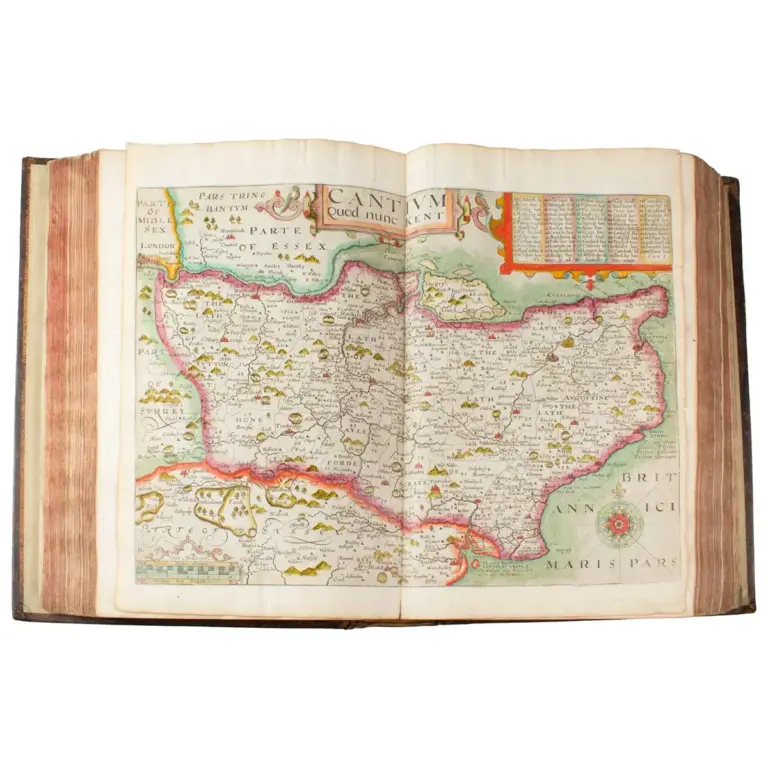
Britain, or a Chorographicall Description of the Most flourishing Kingdomes, England, Scotland, and Ireland, and the Islands adjoynin, out of the depth of Antiquitie
Scarce contemporary coloured copy of camden’s britannia
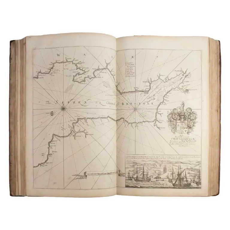
Great Britain’s Coasting-Pilot: Being a new and exact survey of the sea-coast of England and Scotland from the River of Thames to the Westward and Northward with the islands of Scilly and from thence
The First and Finest Maritime Atlas of the British Isles and Ireland
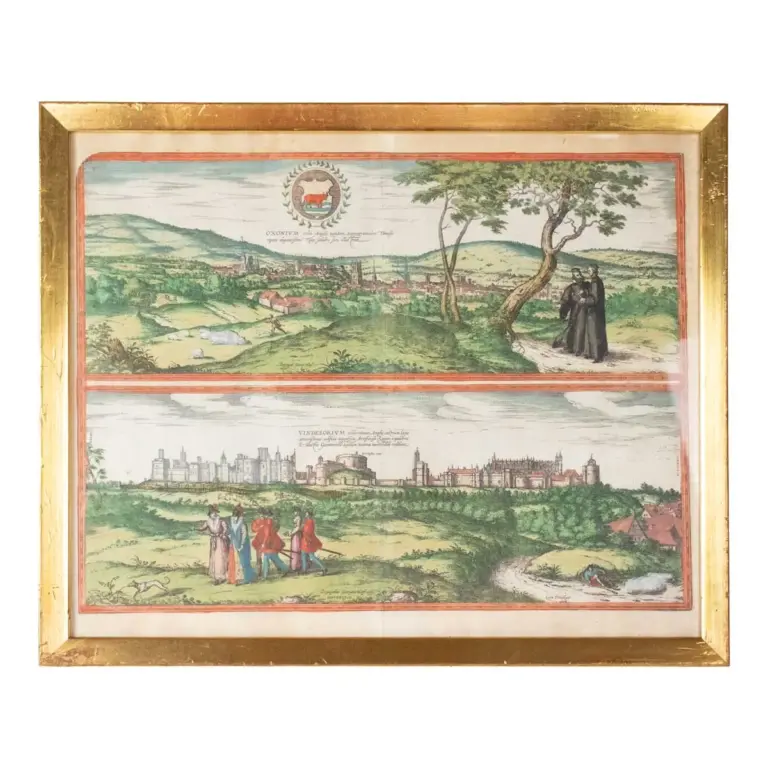
Views of Oxford & Windsor Castle from Civitates Orbis Terrarum
Oxford from the greatest city atlas ever made
![Primus[–Tertius] tractatus](https://marshallrarebooks.com/wp-content/uploads/2025/05/Garcaeus-6-768x768.webp)
Primus[–Tertius] tractatus
First editions of three astronomical treatises, including two extremely rare star charts
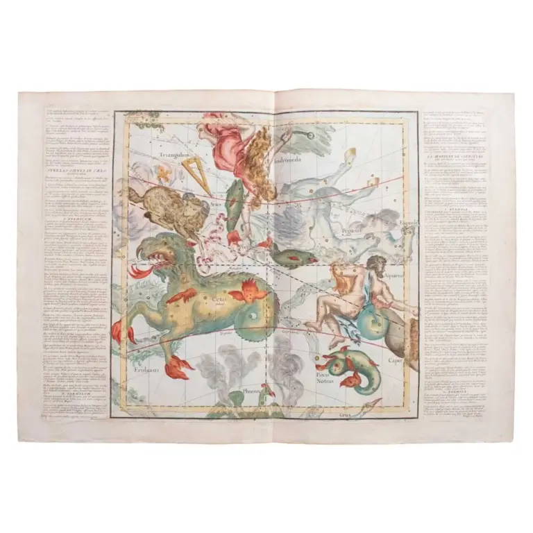
Complete set of six untitled celestial charts
A superb, highly decorative group of celestial charts
![[Plan de Paris].](https://marshallrarebooks.com/wp-content/uploads/2024/10/Turgot-2-768x768.webp)
[Plan de Paris].
Turgot’s monumental plan of paris
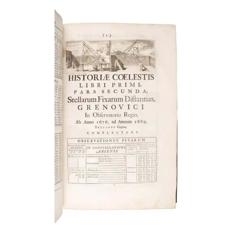
Historiae coelestis libri duo quorum prior exhibet catalogum stellarum fixarumBritannicum novum & locupletissimum una cum earundem planetarumqueomnium…
Extremely scarce first edition of the most important work of eighteenth century astronomy
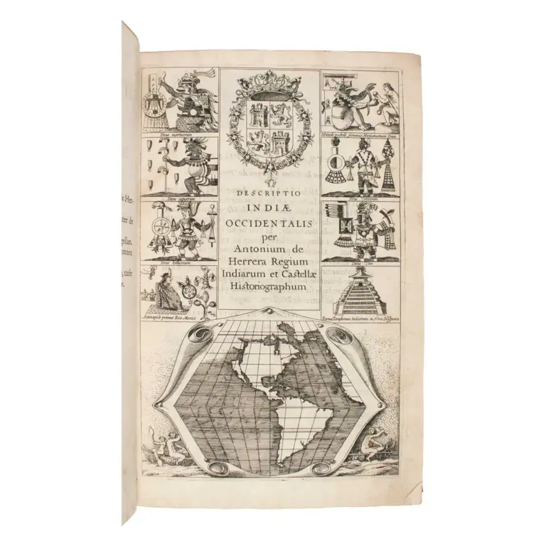
Description des Indes Occidentales, qu’on appelle aujourdhuy le Nouveau Monde: Par Antoine de Herrera, Grand Chroniqueur des Indies, & Chroniqueur de Castille: Translatee d’Espagnol en Francois.
First edition in French, First Issue, Amsterdam imprint, Four editions of this work were published in 1622, including French (imprint of Amsterdam…
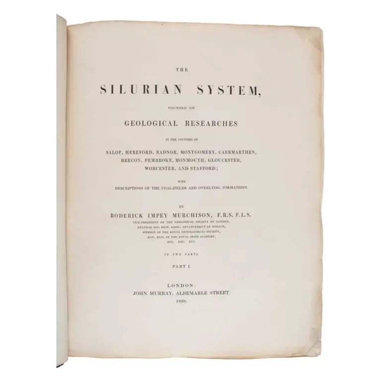
The Silurian System, Founded on Geological Researches in the Counties of Salop, Hereford, Radnor, Montgomery, Caermarthen, Brecon, Pembroke, Monmouth, Gloucester, Worcester, and Stafford
"probably the greatest work ever to be published embodying the results of a single piece of research by one man.”
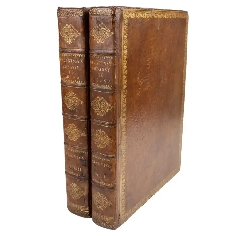
An Authentic Account of An Embassy from the King of Great Britain to the Emperor of China; …Together with a relation of the Voyage undertaken on the occasion by H.M.S. The Lion
Apart from its Chinese importance, it is of considerable interest owing to the descriptions of the various places en route which were visited…
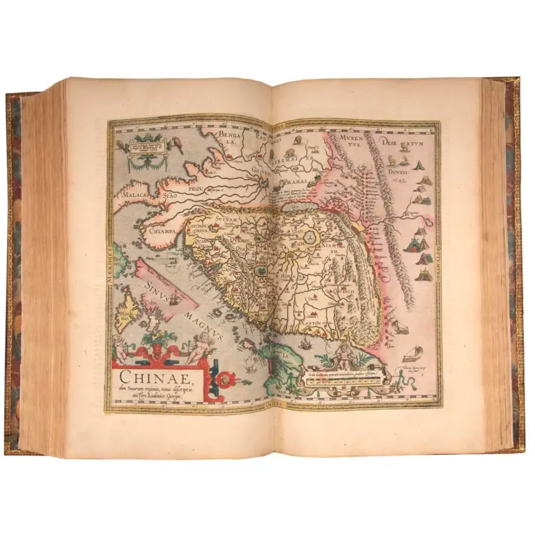
Theatrum orbis terrarium.
One of the largest and finest editions of Ortelius’s Theatrum, comprising 156 plates handsomely coloured by a contemporary hand.
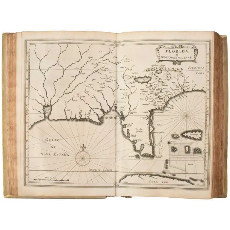
Beschrijvinghe van West-Indien door Ionnes de Laet. Tweede druck.
A splendid set
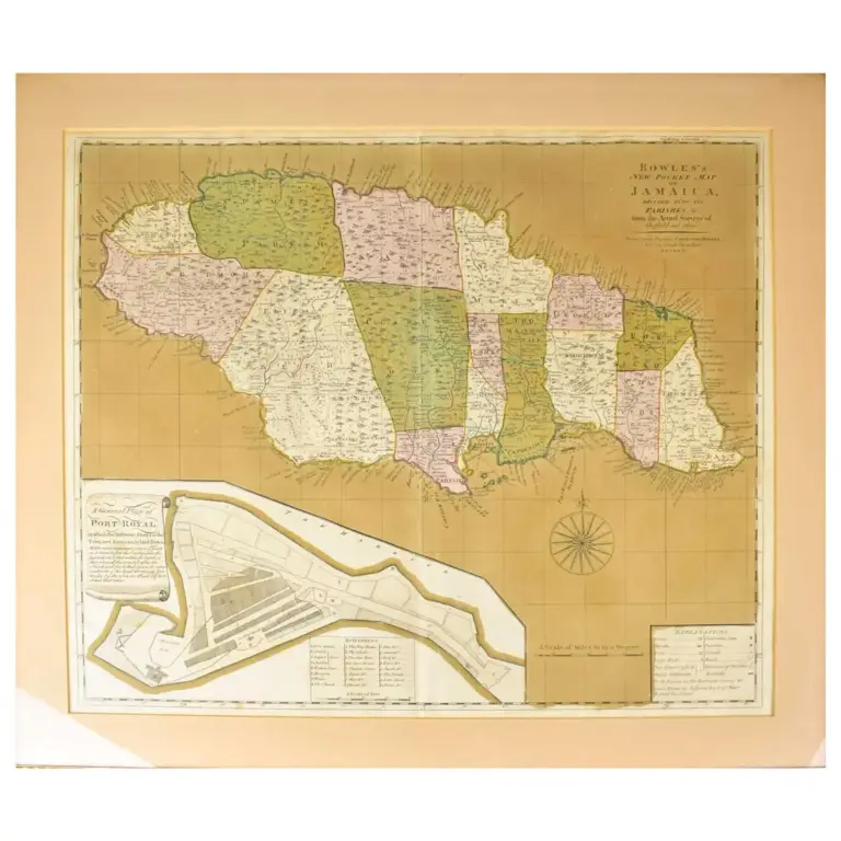
Bowles’s New Pocket Map of Jamaica, Divided into its Parishes &c. from the Actual Surveys of Sheffield and Others.
London, Carington Bowles, circa 1770, engraved map with contemporary wash colouring, inset map of Port Royal, 485 x 560 mm.
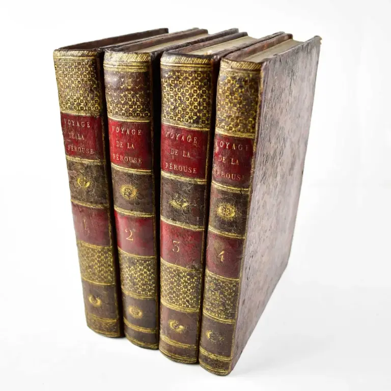
Voyage De La Perouse Autour Du Monde, Publie Conformement Au Decret Du 22 Avril 1791, et Redige Par M. L. A. Milet-Mureau
FIRST EDITION 5 volumes (4 of text and an atlas), 4to (290 x 215mm.) and folio (575 x 425mm.), text volumes in contemporary full mottled calf gilt…
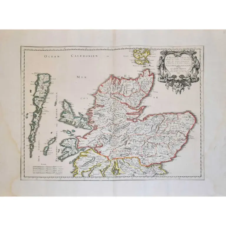
L’Escosse dela le Tay…
Two sheet map of Scotland, separated as issued, from Sanson’s ‘Cartes Generales de Toutes les Parties du Mond’ outlined in colour, two ornate tite…