
 Marshall Rare Books
A Description of the Spanish islands and settlements on the coast of the West Indies, compiled from authentic memoirs, revised by gentlemen who have resided many years in the Spanish settlements and illustrated with thirty-two maps and plans …
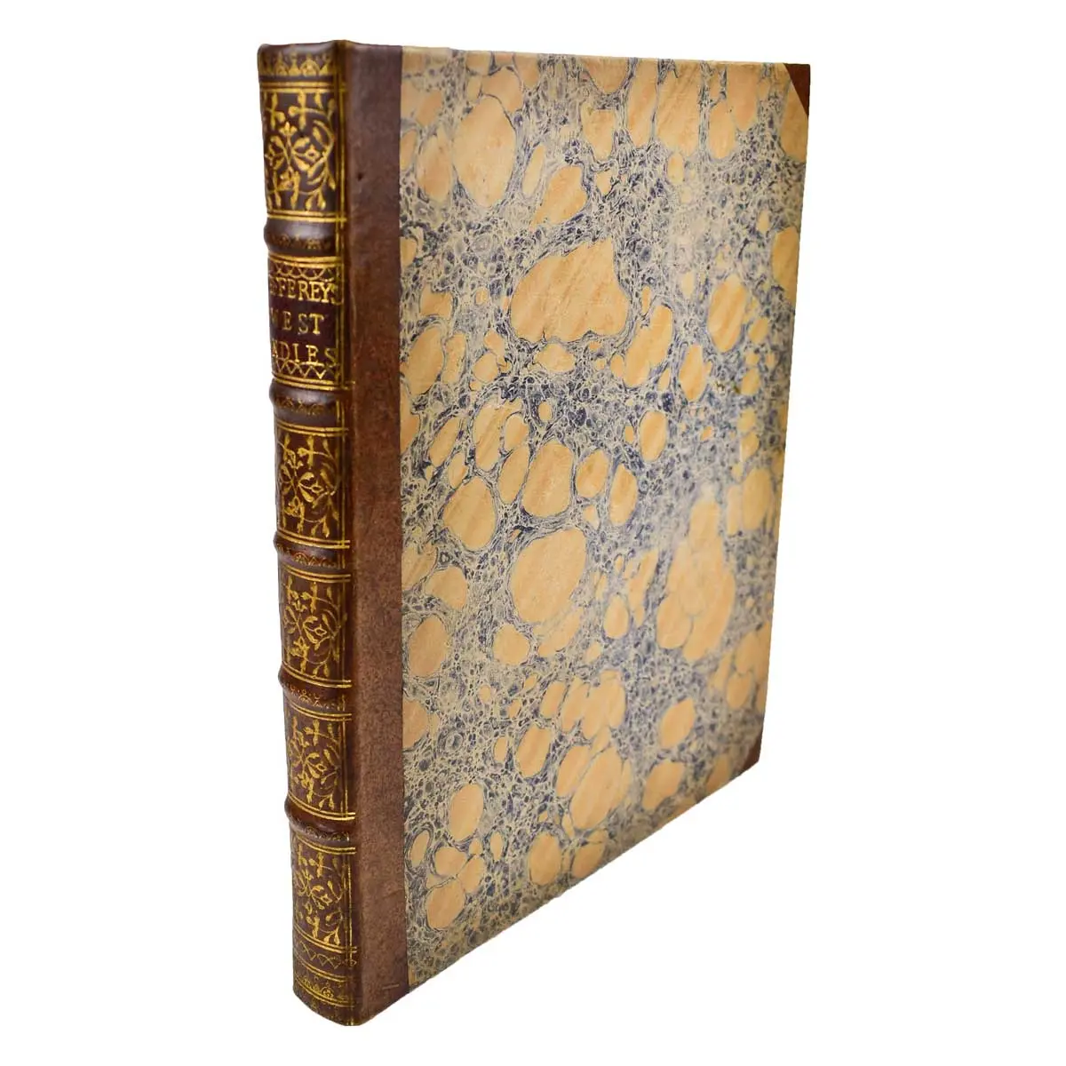
FIRST EDITION, with an engraved folding chart (hand coloured in outline) as frontispiece, and 31 other folding engraved maps and charts., 4to, contemporary half calf over marbled boards, spine gilt, London: printed for T. Jefferys, 1762 Published toward the end of the Seven Years War, in which Spain had sided with France against Britain, this atlas is largely compiled from captured Spanish charts. Jefferys describes the Spanish possessions in the Caribbean basin, beginning with the Venezuelan coast, proceeding to Colombia, Central America, Mexico, Florida (which was later to become part of Britain's American territories), Cuba Hispaniola, and Puerto Rico. Louisiana is omitted as it was not to come into Spanish hands until 1763.
FIRST EDITION, with an engraved folding chart (hand coloured in outline) as frontispiece, and 31 other folding engraved maps and charts., 4to, contemporary half calf over marbled boards, spine gilt, London: printed for T. Jefferys, 1762
Published toward the end of the Seven Years War, in which Spain had sided with France against Britain, this atlas is largely compiled from captured Spanish charts. Jefferys describes the Spanish possessions in the Caribbean basin, beginning with the Venezuelan coast, proceeding to Colombia, Central America, Mexico, Florida (which was later to become part of Britain’s American territories), Cuba Hispaniola, and Puerto Rico. Louisiana is omitted as it was not to come into Spanish hands until 1763.
Thomas Jefferys, engraver and geographer to George III. He published a great many maps and discussions about North America including a map of Florida published in 1763 in William Roberts’ An Account of the First Discovery, and Natural History of Florida.
Jefferys states in the introduction that his purpose is to fulfil the curiosity of the public about the parts of Spanish America where the British fleets now are located, not knowing where “next the fury of war will fall.” He adds, “In the execution of our design, it is intended to confine the pen chiefly to an account of the sea-coasts, harbours, and towns adjacent to them, of the Spanish acquisitions in the West-Indies; beginning from the eastern part of the south coast of the Tierra Firma, thence along the shore to Vera Cruz, round to Florida, and so to the islands of Cuba, &c.” Jefferys relates the history of the area, including discoveries by Columbus, Ponce de Leon, Cortez, and others. From these ventures Spain has taken possession of “far the best and the largest portion of America.” Spain is in entire control of the trade between Europe and Spanish America at this point and Jefferys proceeds to describe in detail each type of ship used in these ventures, including: “Galleons, Flota, Flotilla, Register-ships, and Guarda-costas (coast guards).” Jefferys next analyses the mistakes that Spain has made in America and how proper usage of the territory available to them would have made Spain the greatest economic power in Europe. He concludes his introduction with a brief discussion of the various natural resources found in areas of America and the importance of international trade agreements.
The main text of the volume describes and illustrates with maps and plates the settlements on the mainland coast of Spanish America and on the islands of the West Indies. Two pages are dedicated to Florida, providing approximate geographical boundaries, descriptions of the weather, topographical features, plants, and industries.
Cox II, 220