
 Marshall Rare Books
A Map of the Improved Moss and Improveable Bay of Kintra…
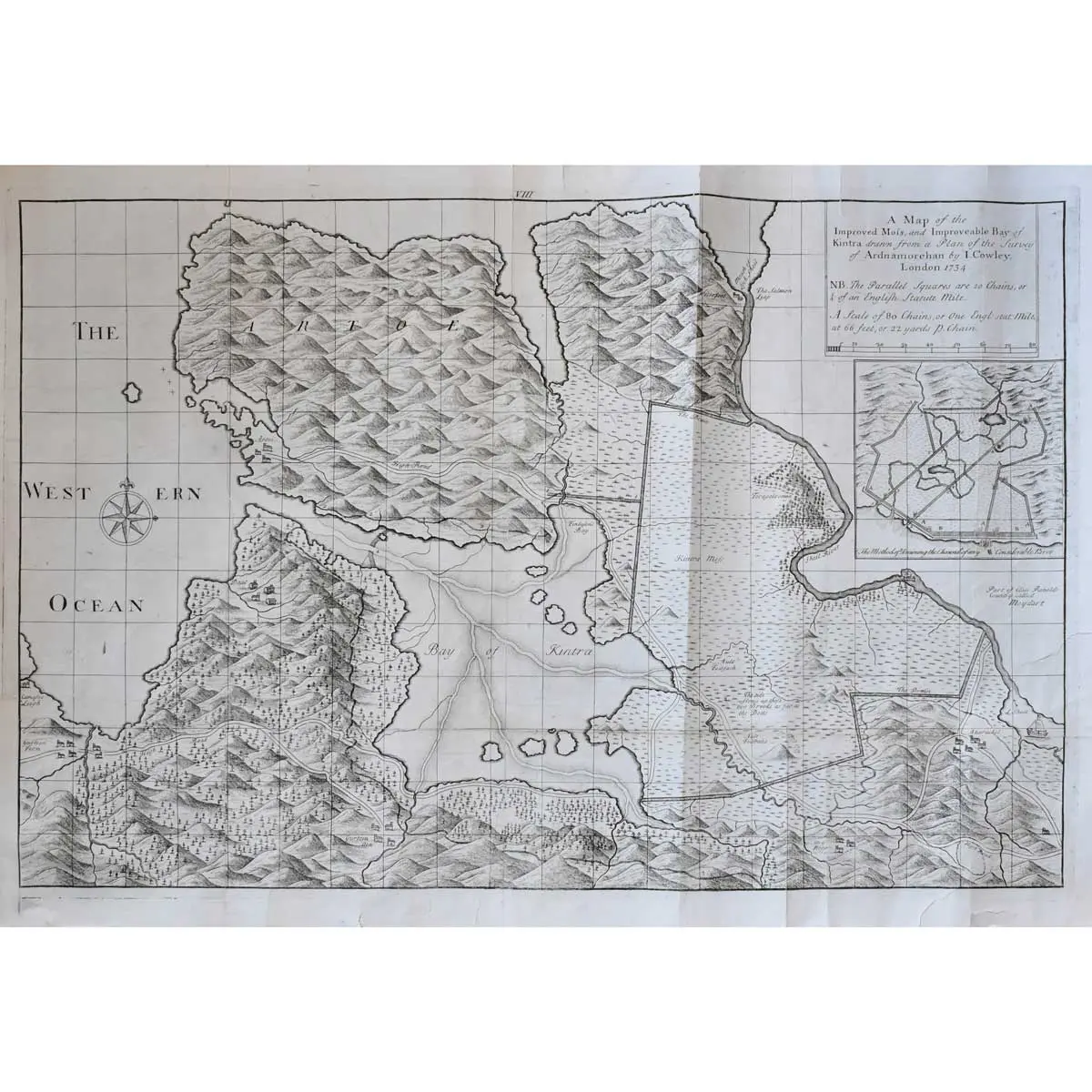
Copper engraved map, inset plan showing ‘The Method of Draining the Channel of any Considerable River’, compass rose, old folds, small marginal tears repaired on verso, folds reinforced on verso, overall size 655 x 460mm, [c.1734]
Copper engraved map, inset plan showing ‘The Method of Draining the Channel of any Considerable River’, compass rose, old folds, small marginal tears repaired on verso, folds reinforced on verso, overall size 655 x 460mm, [c.1734]
A scarce map of Kintra in Argyllshire. The highly detailed map is based on the survey of Ardnamurchan by John L. Cowley. It shows hills, forests, rivers, roads, buildings and instruction on draining canals. A higher standard of map was demanded in the eighteenth and early nineteenth century due to the radical changes being made to the landscape, a result of industrialisation, population growth and migration. Trigonometrical surveying had replayed the traverse and sketch methods used prior, leading to a higher standard in accuracy and detail. A strong impression of a scarce map.