
 Marshall Rare Books
A Plan & Perspective view of the Improved Land of Mingary…
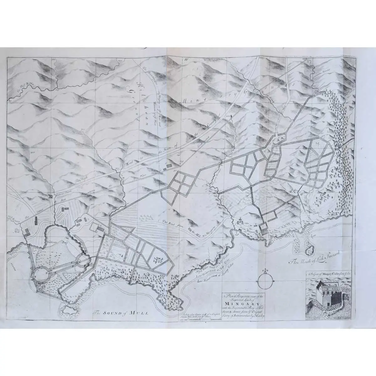
Copper engraved plan inset view of Mingary Castle, compass rose,old folds, reinforced along one fold on verso, overall size 480 x 645mm, London [c.1734]
Copper engraved plan inset view of Mingary Castle, compass rose,old folds, reinforced along one fold on verso, overall size 480 x 645mm, London [c.1734]
An attractive plan of Mingary in Argyllshire with an inset view of Mingary Castle from the sea. The highly detailed plan is based on the survey of Ardnamurchan by John L. Cowley. It shows hills, forests, rivers, roads, buildings and even tide lines. A higher standard of map was demanded in the eighteenth and early nineteenth century due to the radical changes being made to the landscape, a result of industrialisation, population growth and migration. Trigonometrical surveying had replayed the traverse and sketch methods used prior, leading to a higher standard in accuracy and detail. Mingary Castle is a 14th Century castle with an interesting history. The castle was used as a stronghold for King James IV of Scotland when fighting off the Clan Donald in the late 15th Century. In 1588, one of the ships of the Spanish Armada, named the San Juan de Sicilia, landed on Mull and MacLean of Duart used troops from the ship to aid him in his warring against the MacDonalds of Clanranald and the MacIans of Ardnamurchan. On one occasion, a force from the ship besieged to the castle for three days before withdrawing.