
 Marshall Rare Books
America noviter delineata
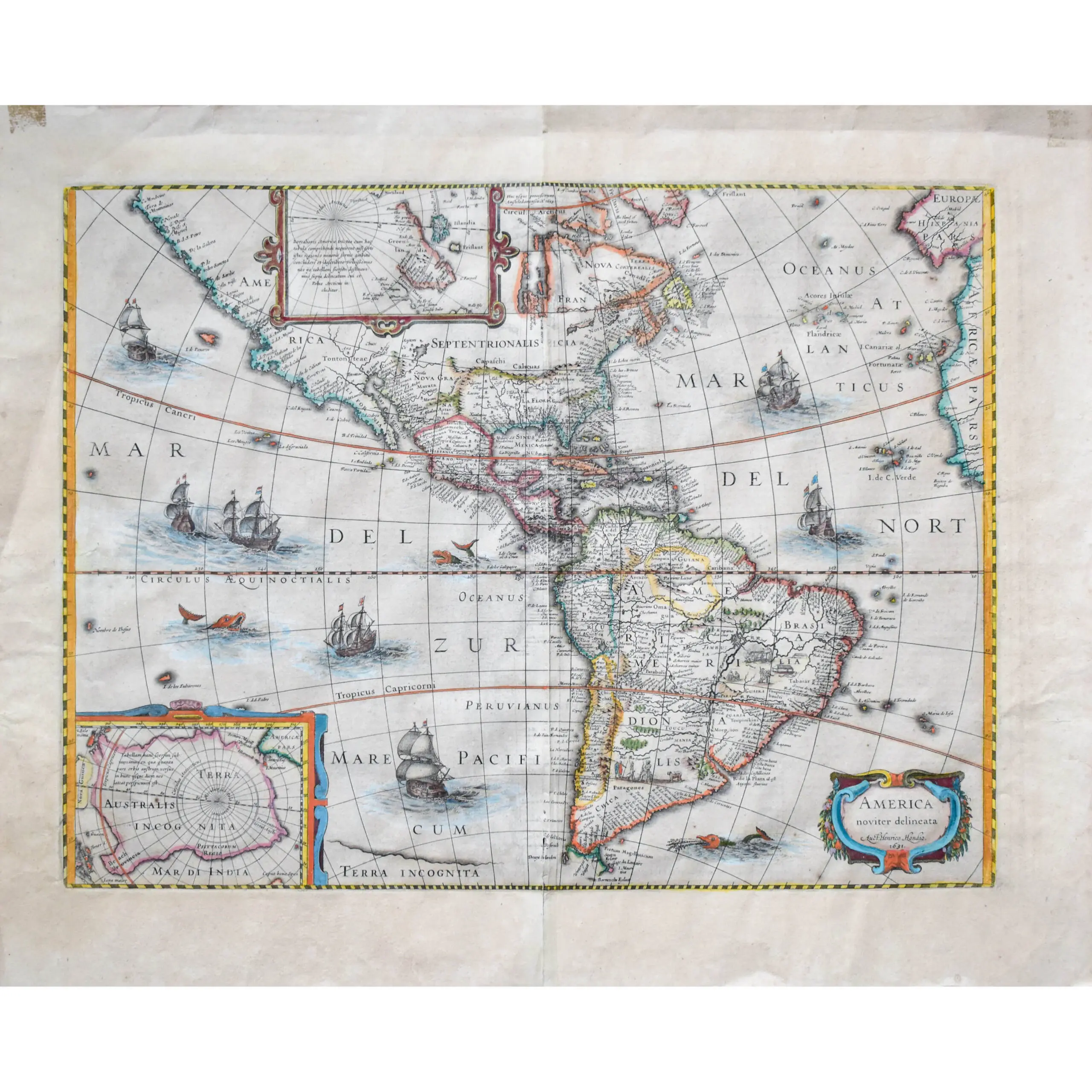
Hand coloured engraved map, decorative title cartouche, ocean embellished with seven sailing ships and 3 sea monsters, central vertical fold, English text on verso, wide margins, reinforced along fold, overall size 495 x 590mm, Amsterdam, 1631 [c.1633]
Hand coloured engraved map, decorative title cartouche, ocean embellished with seven sailing ships and 3 sea monsters, central vertical fold, English text on verso, wide margins, reinforced along fold, overall size 495 x 590mm, Amsterdam, 1631 [c.1633]
A highly decorative map of America, with inset maps of Greenland and the South Pole. The decorative vignettes surrounding the map have been removed by Henricus shortly after his fathers death in 1629. This was probably to adapt the former map to an atlas format while retaining the insets. Hondius’ map follows the general geography of Willem Blaeu’s version published in 1608 and 1617. Mapmakers in the Age of Discovery competed constantly to have the most accurate maps using the latest information. This resulted in the frequent reuse and modification of plates to include reports from the most recent voyages and data from competing publications.
California has been established as a peninsular, with the North West coast of America stretching out towards Asia. Both coasts are packed with place names. The Great Lakes are missing, along with Long Island. South America is bloated and similar in shape to Africa. On the verso a 2 page description of America recounts Columbus’ discovery of America, Magellan’s circumnavigation, the origin of Native Americans in Asia and a host of other interesting details on America. A rare English text edition of this example of Dutch cartography in the 17th century.