
 Marshall Rare Books
Atlas geographique
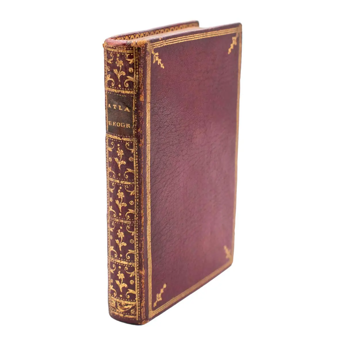
Paris: Jean Lattre, 1762. Engraved and hand coloured frontispiece and title, 30 double-page handcoloured engraved maps, two unnumbered, occasional very light toning, small marginal waterstaining to final leaves, contemporary red morocco, boards triple ruled in gilt, gilt title and fleurons to spine, gilt dentelles and edges, marbled endpapers, 8vo (125 x 82mm).
A delightful copy in contemporary red morocco of this pocket atlas which includes splendid colour maps of the two hemispheres, the continents and several detailed maps of Europe. Cartographically, the map of the Eastern Hemisphere shows a large Australian landmass with New Guinea and Tasmania still connected, and the North America map shows a virtually blank northwestern coast and the British colonies are simply labeled Caroline.
Rizzi-Zanoni was a renowned cartographer and geographer, who began his career in Poland in 1753 at the service of King Augustus III and was active in Sweden, Denmark, France and Italy.