Marshall Rare Books
Britain, or a Chorographicall Description of the Most flourishing Kingdomes, England, Scotland, and Ireland, and the Islands adjoynin, out of the depth of Antiquitie: Beautified with Mappes of the Several Shires of England...,
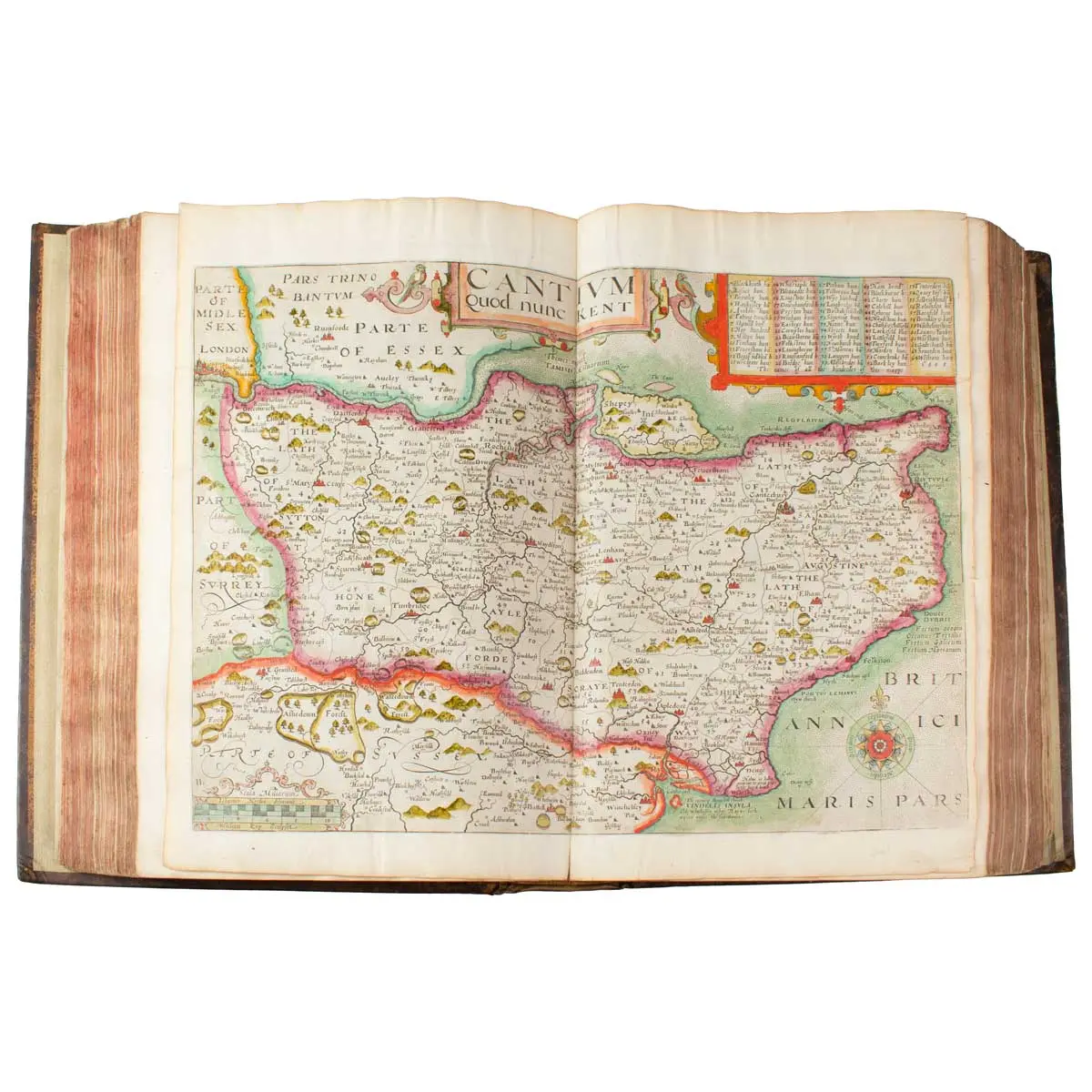
SCARCE CONTEMPORARY COLOURED COPY OF CAMDEN’S BRITANNIA
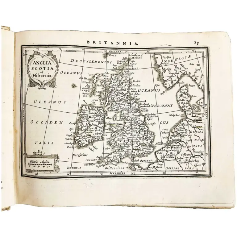
London: printed for F.K.R.Y and I.L for Andrew Hee, 1637, Folio (330 x 230mm), 18thcentury polished calf gilt with gilt border, rebacked, engraved additional title incorporating a decorative map of the British Isles after William Rogers, letterpress title, eight plates of coins, 55 double-page engraved maps and 2 single page engraved maps be William Kip and William Hole mostly after Christopher Saxton all maps, engravings, embellishments with Very Fine Contemporary Hand-Colouring throughout, maps re-guarded, a few minor repairs but a very attractive, rare coloured copy of this important atlas.
William Camden’s “Britannia” (1607) was a landmark chorographical description of the British Isles, featuring the first complete set of county maps for England and Wales, engraved by William Kip and William Hole, based on earlier surveys. This influential work blended geography, history, and antiquarianism, detailing landscapes and past traces, and became a vital Renaissance scholarly text, establishing a new standard for British cartography and historical description.
This is the revised edition of Camden’s Britannia with English text, translated from Latin by Philemon Holland, and the second of only three editions with county maps by William Kip and William Hole. The majority of the maps are based on Christopher Saxton’s monumental survey of England and Wales. Camden’s work was originally published (in Latin) in 1586, but maps were not included until the sixth edition in Latin of 1607. 41 of the maps are after Saxton, six after Norden, one after George Owen and nine maps remain unascribed.
[Chubb XX; STC 4510], F. Kingston, R. Young, and J. Legat for Andrew Her, 1637