
 Marshall Rare Books
Europa exatissime descripta auctore
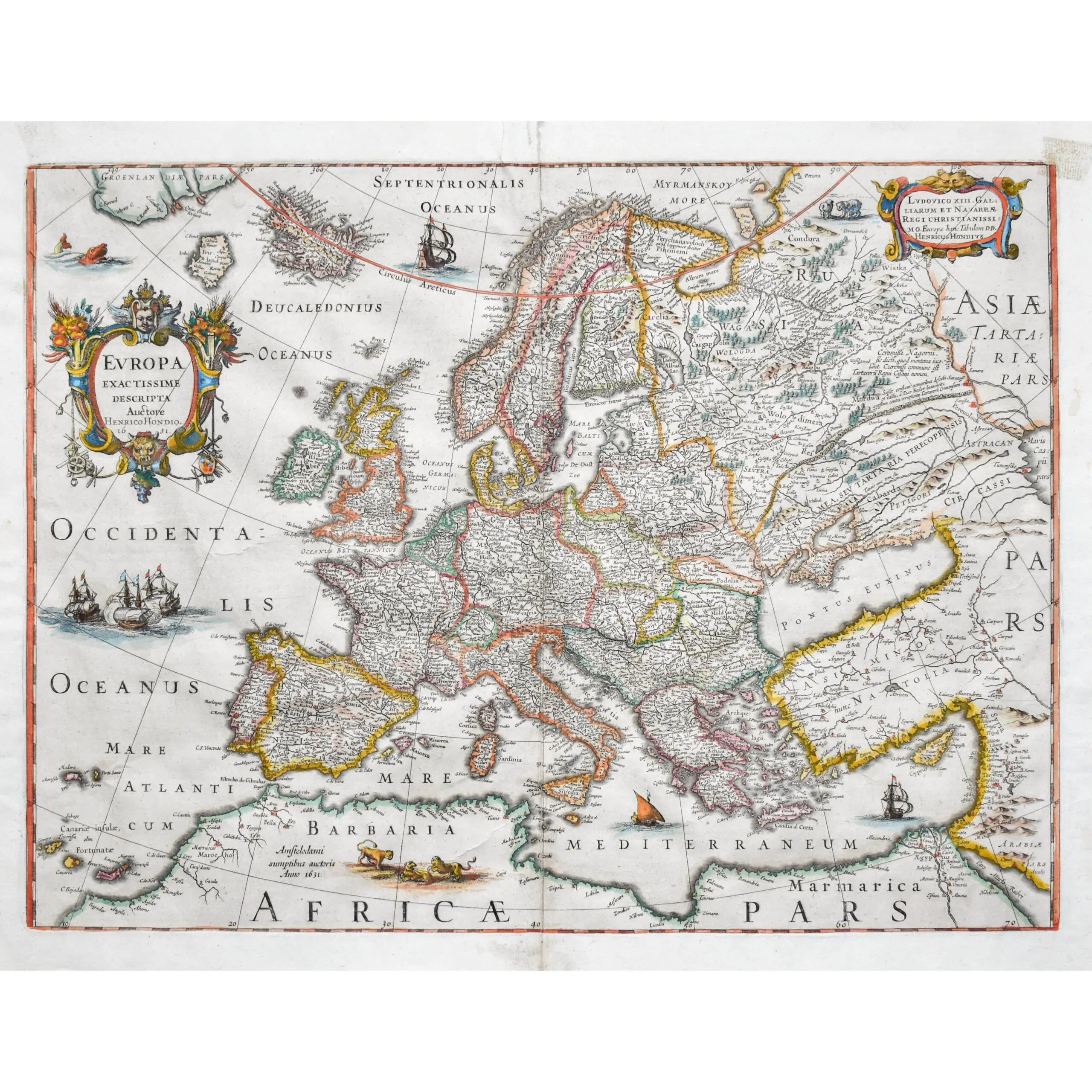
Hand coloured engraved map, ornate title cartouche, dedication to King Louis XIII, sea embellished with seven sailing ships and a sea monster, central vertical fold, English text on verso, reinforced along fold, overall size 430 x 550mm, Amsterdam, 1631[c.1633].
Hand coloured engraved map, ornate title cartouche, dedication to King Louis XIII, sea embellished with seven sailing ships and a sea monster, central vertical fold, English text on verso, reinforced along fold, overall size 430 x 550mm, Amsterdam, 1631[c.1633].
A highly decorative map of Europe, stretching up to Greenland, with the coasts of Africa and Asia in the peripheries. A few coastal places are named along the Afircan coast but most of the space is instead dedicated to a pride of lions. Originally engraved by Jodocus Hondius Jr. (1593-1629), as part of a set of four continent maps to be offered in his brother Henricus Hondius’ Atlas published in 1631. The copperplates of the map continued to be held within the family and were used by Jodocus’ brother-in-law, Johannes Janssonius (Jan Jansson), in his Atlas Novus published from 1646-1657.
A rare English text edition of this example of Dutch cartography in the 17th century.