 Marshall Rare Books

Geographia totius orbis compendiaria
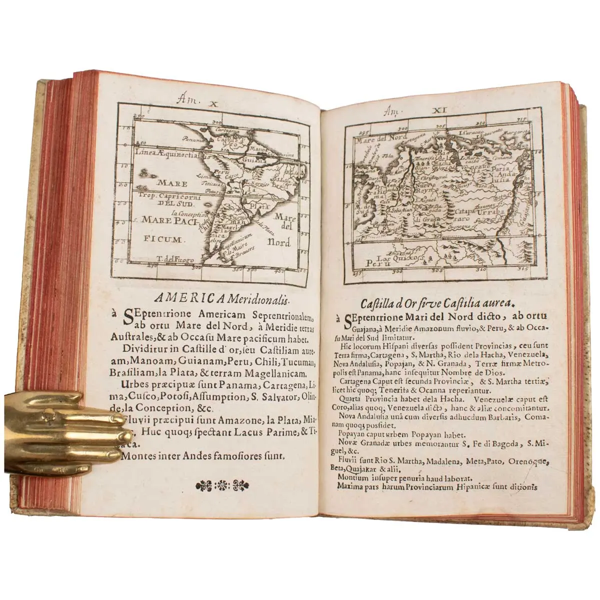
This is a rare miniature atlas in which each map is paired with explanatory Latin text.
FIRST EDITION,[8], 87pp., double-page engraved title by G.C. Bodenehr, 103 copper engraved maps by Bodenehr after Hipschmann (1 folding world map, 10 hand coloured), several early ownership notes to title, 2 additional manuscript index leaves at rear, contemporary vellum over boards, pasted on paper library label to spine, 8vo (155 x 90mm), Ulm, George Wilhelm Kuhnen, 1692.
The first edition was published in both German and Latin, this is the rarer Latin edition.
This is a rare miniature atlas in which each map is paired with explanatory Latin text of various type sizes to enable the description to fit on the same page. The verso of each map is blank. The atlas contains 53 detailed maps of Europe, 16 of Asia, including China, India, Japan, the Philippines and Saudi Arabia. Maps of South America are bound in with the section on Asia. There are 16 total maps of the Americas, including 2 polar maps, Virginia, California shown as an island, South America and Brazil. There are also 16 maps of Africa.
In 1692 Johann Ulrich Müller (1633-1715) published this small geographical work entitled ‘Geographia Totius Orbis Compendiaria’. In the same year a German edition was also published entitled ‘Kurtbuendige Abbild-und Vorstellung der Gantzen Welt’. To illustrate both works Müller provided a new series of 103 maps. Mostly unsigned, it would seem that the engraver was one of the Bodenehr family. G. C. Bodenehr signs the engraved frontispiece.
[VD17 12:654867Q, Phillips 512; Bagrow 356; Bagrow-Skelton 511]