Marshall Rare Books
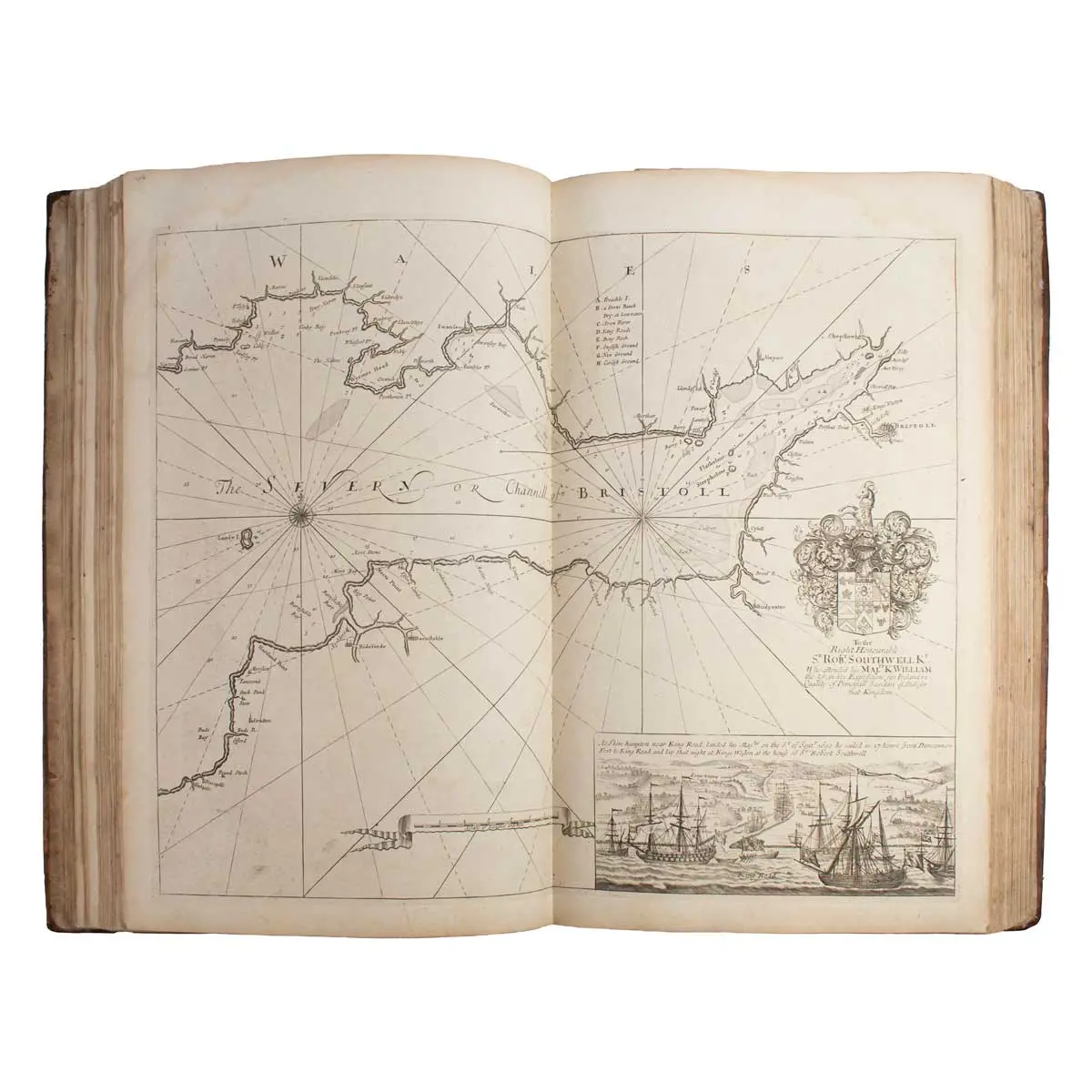
Great Britain's Coasting-Pilot: Being a new and exact survey of the sea-coast of England and Scotland from the River of Thames to the Westward and Northward with the islands of Scilly and from thence to Carlyle. Likewise the islands of Orkney and Shetland. Describing all the harbours, rivers, bays, roads, rocks, sands, buoys, beacons, sea-marks, depths of water, latitude, bearings and distances from place to place; the setting and flowing of tides, with directions for the knowing of any place and how to harbour a ship in the same with safety. With directions for coming into the channel between England and France.
The First and Finest Maritime Atlas of the British Isles and Ireland
London: printed for Mount and Page, 1753, [4], 26 pp. With added engraved pictorial title page; 49 copper-engraved charts & plates, all but a few double-pages, several folding out as well. (Folio) 550 x 310 mm, Full Contemporary Calf.
The First and Finest Maritime Atlas of the British Isles and Ireland
Greenville Collins (d. 1694; fl. 1669-1693) served in the Royal Navy with Sir John Narborough in his expedition to southern South America and the Straits of Magellan where he became highly proficient at surveying and chart-making.
In the early 1680s, Collins proposed that he undertake a full-scale survey of the British coastal waters. This was a priority because the majority of existing charts were out of date and were based on earlier Dutch surveys. King Charles II was persuaded of the importance of the project and funding was duly promised, and in 1681 Collins was given command of the yacht ‘Merlin’and sent to survey the British coastline. The survey took seven years (between 1681 and 1688) and resulted in about 120 manuscript charts, from which were produced forty-nine engraved charts, covering most of the British Isles and Ireland.
Throughout the production of the ‘Pilot’ Collins struggled to get paid and eventually resorted to funding part of the project with his own money. Collins’ work represents the first systematic survey of the coast of the British Isles created by an Englishman, as well as being the first marine atlas to be engraved and printed in London. As such it stands as a landmark in British chart-making and publishing. It also broke the reliance and dependence on Dutch maritime surveying. The ‘Great Britain’s Coasting Pilot’ remained in print for one hundred years. This example is unusually clean, with wide margins and bound in contemporary calf.