
 Marshall Rare Books
Histoire Universelle des Indes Occidentales.
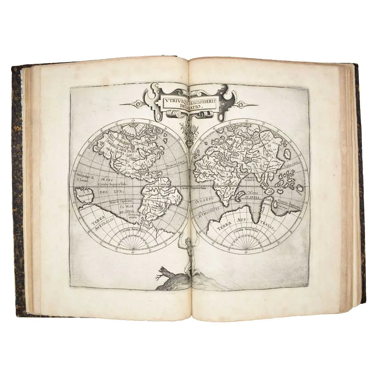
Douai: Francois Fabri, 1607, Folio,(300 x 220mm), Contemporary calf, Three Parts in One Volume, three historiated engraved architectural titles, 19 double-page engraved maps, final leaf with woodcut printer's device, occasional browning of text, maps in good strong impressions.
Douai: Francois Fabri, 1607, Folio,(300 x 220mm), Contemporary calf, Three Parts in One Volume, three historiated engraved architectural titles, 19 double-page engraved maps, final leaf with woodcut printer’s device, occasional browning of text, maps in good strong impressions.
Second French edition, first published in 1605, of “the first separately published atlas devoted to the Americas” (Skelton). 3 parts in one volume. With Mercator’s map of the world (Shirley 207: “Reduced from Rumold Mercator’s map of ten years earlier”) and 18 maps of the Americas.
The first part is extracted and freely translated from the first edition published in Latin in 1597, “Descriptionis Ptolemaicæ augmentum,” and the fine and important series of American maps are printed from the same copper plates, with only very minor changes, primarily to the titles. The second part was written by Magini and is entirely devoted to the East Indies. Cornelis van Wytfliet, secretary to the Council of Brabant, called his atlas of the New World a supplement to Ptolemy’s “Geography,” although the two works are actually quite separate.
Dedicated to King Philip III of Spain, and covering the history of the first European encounters with the New World, its geography, and natural history, Wyfliet used as his source the works of Acosta, Hakluyt, de Bry and Ramusio. Wytfliet’s atlas was an immediate success, and six further editions, including three with French text (as here), were published within the next two decades. “It is as important in the history of the early cartography of the new world, as Ptolemy’s maps are in the study of the old” (Phillips).