
 Marshall Rare Books
History of a Voyage to the China Sea
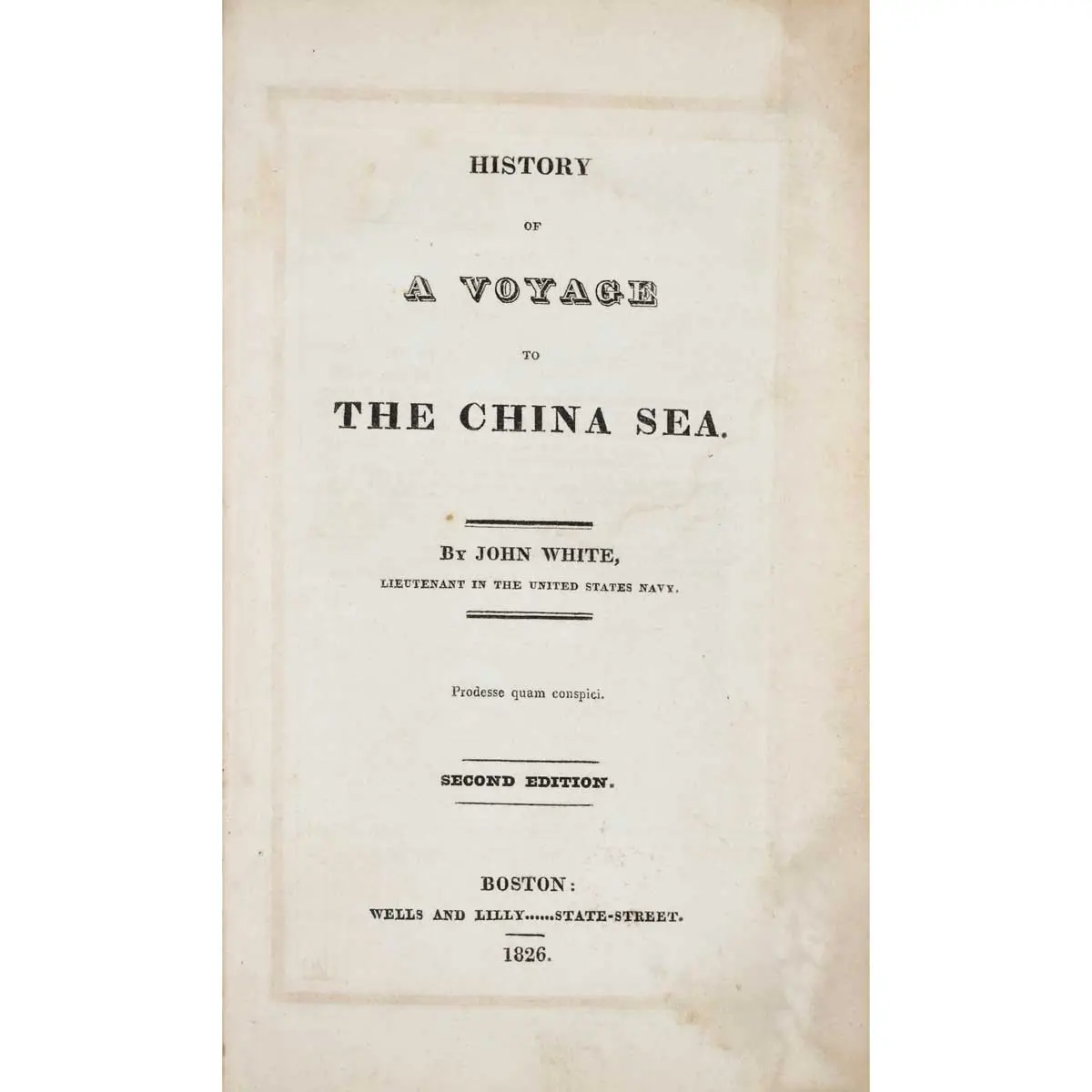
Second edition, folding map frontispiece, 6 engraved plates, ad at front, occasional light foxing, contemporary half calf over marbled boards, spine gilt, 8vo, Boston, Wells and Lily, 1826
Second edition, folding map frontispiece, 6 engraved plates, ad at front, occasional light foxing, contemporary half calf over marbled boards, spine gilt, 8vo, Boston, Wells and Lily, 1826
Captain John White (1782-1840) sailed from Salem for the Far East in 1819, on the Us Navy Brig ‘Franklin’. The objective of the voyage was to establish contacts and to open trade in Cochin China. The Franklin visited Indochina, the Dutch East Indies and the Phillipines, before arriving in Saigon on October 7, 1819. White’s visit is the second earliest recorded American visit and among the earliest to ascend the Dong Nai River to Saigon. His account includes a great deal of information on Vietnam and the Vietnamese, and on Batavia and the Philippines.
The work includes several engravings of views, one plate of specimens of Chinese characters and the “Map of the River of Don-Nai from Cape St. James to the City of Saigon”. White’s map improves on the mapping of the region by Jean Marie Dayot, drafted in 1790. The map also locates the Canal which at the time was intended to connect the Mekong Delta with the Dong-Nai, in an attempt to improve the commercial prospects of Saigon and the region.
[Hill 1860; Sabin 103411; Smith American Travelers Abroad W65.]