
 Marshall Rare Books
Introductio in omnem geographiam veterem aeque ac novam olim studio & opera Joh. Bunonis ... multis in locis emendata, memorabilibusque aucta ... in multis passim correctiorcurante J. Reiskio.
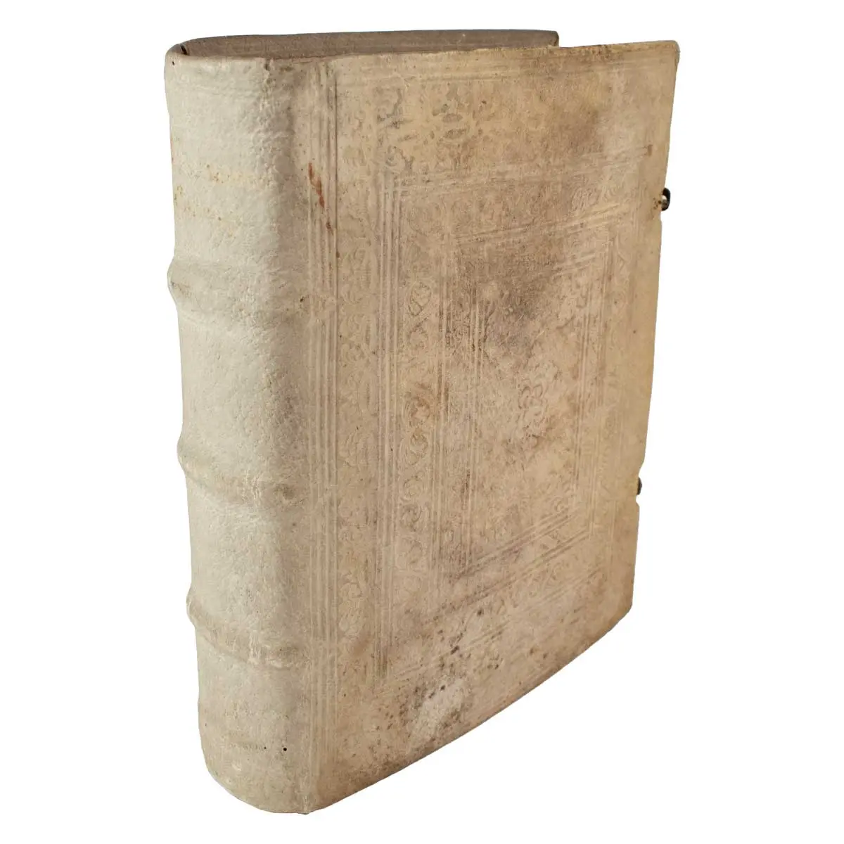
Wolfenbuttel, CJ Bismarck 1694. 4to, (220 x 180 mm), Contemporary Blind-Stamped Pigskin over Wooden Boards with two clasps, Engraved Allegorical and Printed Titles, 3 Engraved plates, 43 folding or double-page engraved maps and 2 folding Tables.
The maps are re-engravings of the maps from the 1661 edition, some signed “sculps. H. Mosting” or “Herman Mosting sculpsit Lunaeb.”, the latter being documented in Lüneburgaround 1685 (cf. Thieme-B. XXV, 192). There are 37 copper-plate engravings including the world map, maps of the continents (America, Africa, Asia, and Europe), and many regional European maps. Compared to the 1661 edition, this edition is supplemented with maps of the East Indies, Prussia, Sardinia/Corsica, and Sicily.
The map of America was derived from the Nicolas Visscher map of 1658, with a Briggs type island of California and no Great Lakes in North America. The interior rivers of South America are all connected to a large, spurious lake labeled Lago de los Xarzyes. A depiction of the discoveries of Maarten Gerritsz de Vries’ voyage appears in the waters north of Japan, and Abel Janszoon Tasman’s discoveries are shown in New Zealand. The map of Africa, Africa, Antiqua, et Nova is an interesting continental map that is very similar to Sanson’s Africa Vetus. Well engraved with few place names in the south and only the major river systems and mountains shown. The Nile originates from two large lakes well south of the Equator in the Ptolemaic style
VD 17 23:299253W; Shirley 425; Alden-L. 694/35.