
 Marshall Rare Books
Knapdalia Provincia que sub Argathelia censetur - The Province of Knapdail which is accounted a member of Argyll
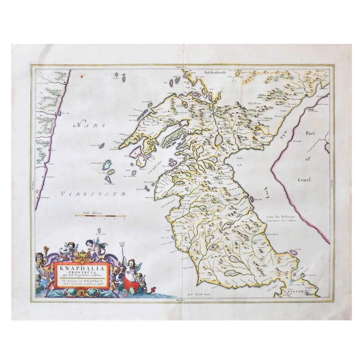
Copper engraved map, from volume 5 of Blaeu’s Atlas, outlined in colour, ornate title cartouche with mermaids, and putti, central vertical fold,minor spotting, spine reinforced, Latin text on verso, 515 x 605mm, Amsterdam, 1654.
Copper engraved map, from volume 5 of Blaeu’s Atlas, outlined in colour, ornate title cartouche with mermaids, and putti, central vertical fold,minor spotting, spine reinforced, Latin text on verso, 515 x 605mm, Amsterdam, 1654.
A fine Scottish county map covering the region of Knapdale to the west of Glasgow. The detailed map shows villages, mountains, lochs and rivers in great detail. The original survey work of Timothy Pont (and secondarily Robert Gordon) is behind the first atlas of Scotland published by Blaeu in 1654. Pont compiled this map for Blaeu between 1583 and 1601.
Joan Blaeu was a leading Amsterdam mapmaker. His prowess was recognised in the civil offices he held: from 1638, mapmaker to the Dutch East India Company and, between 1651 and 1672, a member of Amsterdam City Council. The maps of Scotland that form part of the Atlas novus are part of a scheme for a multi-volume world atlas, a scheme hatched by Joan’s father, Willem Janszoon Blaeu.
The Blaeu maps of Scotland are particularly scarce. Produced between 1654 and 1672, the year of the fire that destroyed the Blaeu printing house, is a much shorter period of time than most other Blaeu maps. Gorgeous old color example with wide margins.