
 Marshall Rare Books
L'Escosse dela le Tay…
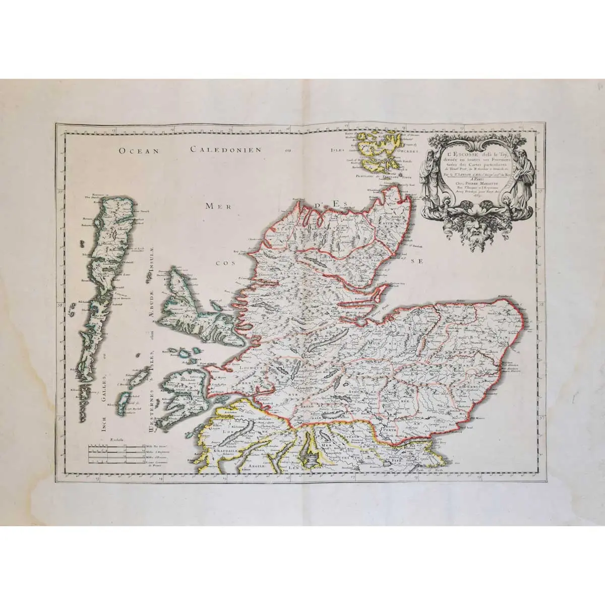
Two sheet map of Scotland, separated as issued, from Sanson’s ‘Cartes Generales de Toutes les Parties du Mond’ outlined in colour, two ornate tite cartouches,central vertical fold, trimmed and mounted on a larger sheet, slight water staining in margin, overall size 700 x 520mm, Paris, Pierre Mariette, 1665-1703.
Two sheet map of Scotland, separated as issued, from Sanson’s ‘Cartes Generales de Toutes les Parties du Mond’ outlined in colour, two ornate tite cartouches,central vertical fold, trimmed and mounted on a larger sheet, slight water staining in margin, overall size 700 x 520mm, Paris, Pierre Mariette, 1665-1703.
An attractive hand coloured map of Scotland, covering the Orkney Islands in the north down to Carlisle and Durham in England in the south. The map extends west to include the Outer Hebrides and the northern coast of Ireland and is filled with details of political boundaries, towns, mountains, and rivers. Timothy Pont (and secondarily Robert Gordon) produced the original surveys on which this map is based.
Nicolas Sanson was a leading force in early French cartography. After his death in 1667, the business was briefly managed by Sanson’s sons before transferring it to Hubert Jaillot. Jaillot continued to issue Sanson’s maps and add to them with his own.