
 Marshall Rare Books
Magnae Britanniae et Hiberniae Tabula
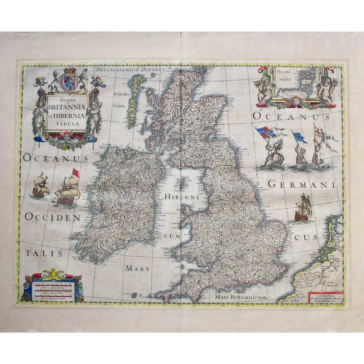
Copper engraved map from Hondius’ ‘Atlas ou Representation Du Monde, outlined in old colour, inset map of the Orkney Islands, decorative title cartouche embellished with putti, coat of arms, mermaids and ships in the ocean, central vertical fold, Latin text on verso, overall light browning, fold reinforced on verso, wide margins, overall size 575 x 515mm, Amsterdam, for Henri Hondius, 1631 [1633]
Copper engraved map from Hondius’ ‘Atlas ou Representation Du Monde, outlined in old colour, inset map of the Orkney Islands, decorative title cartouche embellished with putti, coat of arms, mermaids and ships in the ocean, central vertical fold, Latin text on verso, overall light browning, fold reinforced on verso, wide margins, overall size 575 x 515mm, Amsterdam, for Henri Hondius, 1631 [1633]
A highly decorative and detailed map of Great Britain and Ireland, including part of Holland and France. The seas are home to three mermaids holding the flags of England, Ireland and Scotland, while three galleons battle. A good example of 17th century Dutch cartography.
The Mercator family of cartographers produced some of the most important maps of the sixteenth century. Gerard Mercator, the patriarch of the family, is famed for the development of Mercator’s projection, first demonstrated on his world map of 1569, which allowed any compass course to appear as a straight line. His next project was the creation of a complete world ‘Atlas’, the first publication to be called by that name. This occupied him until his death in 1594 and the unfinished atlas was left in the care of his son Rumold.
Koeman: Me 36A