
 Marshall Rare Books
Northern/Southern Part of Edinburghshire
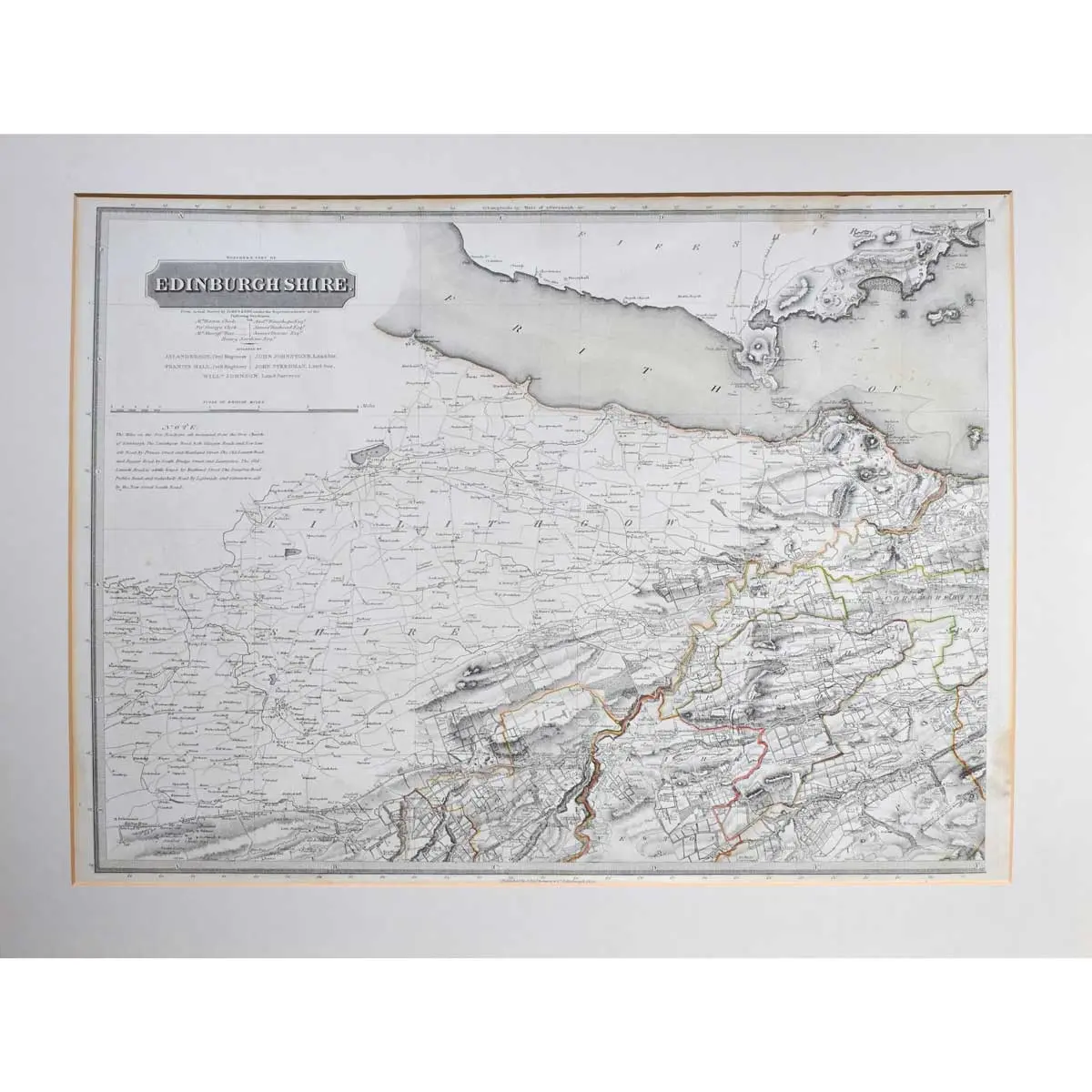
2 two-sheet maps, steel engraved, outlined in colour, from ‘The atlas of Scotland’, central vertical folds, minor surface dirt, overall size 735 x 550mm, Edinburgh, [1822-1827]
2 two-sheet maps, steel engraved, outlined in colour, from ‘The atlas of Scotland’, central vertical folds, minor surface dirt, overall size 735 x 550mm, Edinburgh, [1822-1827]
John Thompson was a celebrated Scottish cartographer. The title page of his ‘New General Atlas’ 1819, describes his work as:
“a collection of maps and charts, delineating the natural and political divisions of the empires, kingdoms, and states in the World. Constructed from the best systematic works, and the most authentic voyages and travels. With a memoir of the progress of geography, a summary of physical geography, and a consulting index to facilitate the finding out of places.”
The demand for large-scale county maps increased in the eighteenth and early nineteenth century due to the radical changes being made to the landscape, a result of industrialisation, population growth and migration. Trigonometrical surveying had replayed the traverse and sketch methods used prior, leading to a higher standard in accuracy and detail.