
 Marshall Rare Books
The East Coast of Scotland with the Isles of Orkney and Shetland
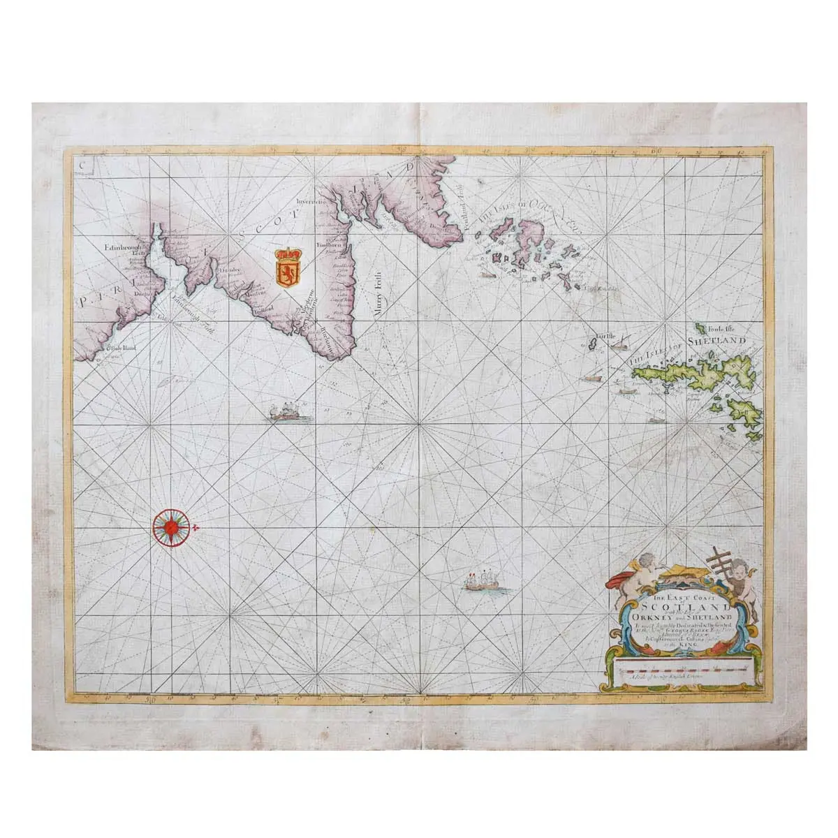
Copper engraved map, hand coloured, ornate title cartouche, coat of arms, compass rose, rhumb lines, sea decorated with ships, central vertical fold, minor surface dirt, overall size 520 x 625mm, [London, 1693?]
Copper engraved map, hand coloured, ornate title cartouche, coat of arms, compass rose, rhumb lines, sea decorated with ships, central vertical fold, minor surface dirt, overall size 520 x 625mm, [London, 1693?]
A striking sea chart of the east coast of Scotland and Northern England, including the Isles of Orkney and Shetland. Many coastal towns and villages are named.
Captain Greenvile Collins was an English captain, prominent hydrographer and officer of the Royal Navy. King Charles II commissioned him to survey the coasts of Great Britain in 1681. In 1693 he published ‘Great Britain’s Coasting Pilot’, the first original sea atlas to be produced by an Englishman. The resulting atlas contained tide tables, coastal views and 49 sea charts. Although not entirely accurate, the sea charts were an enormous advancement from those that appeared before them. Collins was not only the first English hydrographer, but also one of the best.