
 Marshall Rare Books
The English Pilot for the Southern Navigation: Describing the Sea-Coasts, Capes, Headlands, Bays, Roads, Harbours, Rivers and Ports: together with the Soundings, Sands, Rocks and Dangers on the Coast of England, Scotland, Ireland, Holland, Flanders, Spain, Portugal, to the Streight's- Mouth; with the Coasts of Barbary, and off to the Canary, Madeira, Cape de Verde and Western Islands Shewing the Courses and Distances from one place to another; The Setting of the Tides and Currents; the Ebbing and Flowing of the Sea, &c.
Back to browsing
Availability:
Sold
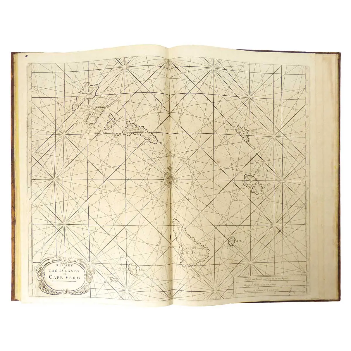
London: for Mount & Davidson on Towerhill, 1792, Folio [480 x 320mm], Contemporary Mottled Calf, Spine Gilt on Black, with 22 Double-Page and Folding Charts, 2 small charts, and numerous engravings of charts, navigational instruments, profiles, headlands throughout, small stain on title. A Very Fine Copy.
A Splendid example of this atlas with its series of stunning maps and charts and explicit sailing directions and notations. The charts describe the River Thames, Newcastle trade routes, the coastlines and various ports of England, Scotland, Ireland, Flanders and the Netherlands, France, Portugal, Spain, the Strait of Gibraltar, the Coast of Africa including the Canary Islands and the Cape Verde Islands