
 Marshall Rare Books
Typhoon Tracks
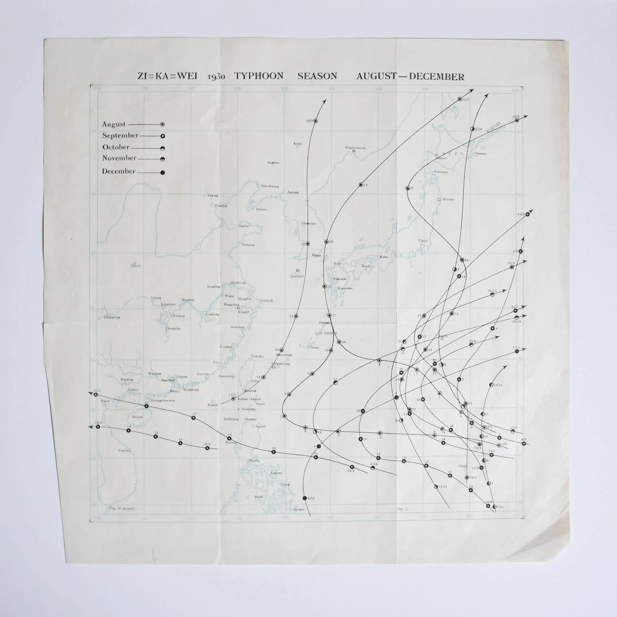
Four charts showing the movement of typhoons in the South China seas, three printed, 1 manuscript, closed tear to one, fold creases, marginal tears to one map, preserved in original wrapper, 1930.
Four charts showing the movement of typhoons in the South China seas, three printed, 1 manuscript, closed tear to one, fold creases, marginal tears to one map, preserved in original wrapper, 1930.
The methods for forecasting tropical cyclones have changed over time. The first known forecasts in the Western Hemisphere were made by Lt. Col. William Reed in Barbados in 1847, basing his forecasts on barometric pressure. Forecast and warning systems were introduced in Havana in the 1870s. These were based on cloud cover changes and tide movements. In 1895, it was noted that cool conditions with unusually high pressure preceded tropical cyclones in the West Indies by several days. Before the early 1900s, most forecasts were done by direct observations at weather stations, which were then relayed to forecast centers via telegraph. It was not until the advent of radio in the early twentieth century that observations from ships at sea were available to forecasters. Despite the issuance of hurricane watches and warnings for systems threatening the coast, forecasting the path of tropical cyclones did not occur until 1920.