BOWLES, CARRINGTON
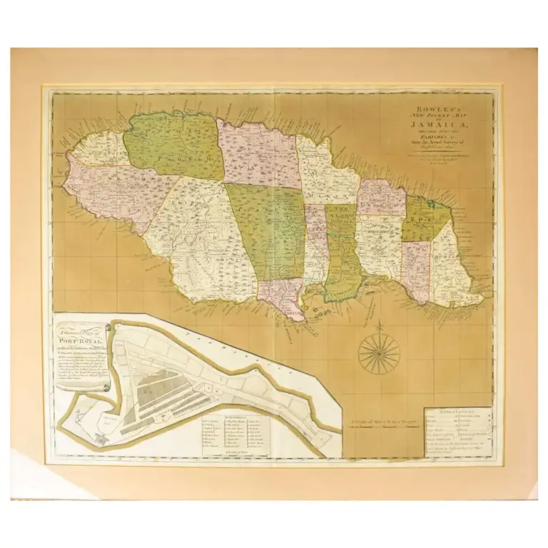
Bowles’s New Pocket Map of Jamaica, Divided into its Parishes &c. from the Actual Surveys of Sheffield and Others.
London, Carington Bowles, circa 1770, engraved map with contemporary wash colouring, inset map of Port Royal, 485 x 560 mm.

 Marshall Rare Books