
 Marshall Rare Books
Bowles's New Pocket Map of Jamaica, Divided into its Parishes &c. from the Actual Surveys of Sheffield and Others.
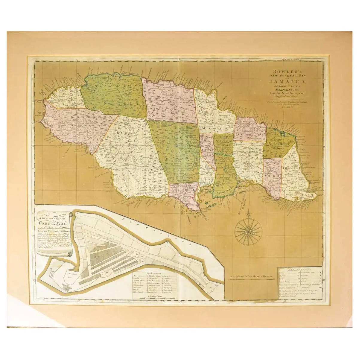
London, Carington Bowles, circa 1770, engraved map with contemporary wash colouring, inset map of Port Royal, 485 x 560 mm.
London,Carington Bowles, circa 1770, engraved map with contemporary wash colouring, inset map of Port Royal, 485 x 560 mm.
This handsome and scarce map of Jamaica is a reduced version of Patrick Browne’s important large-scale map of the island, which was drawn from the surveys of Mr. Sheffield. It includes a vast amount of information including topographical details, parish boundaries, roads, towns, churches, forts, taverns, crawls (hog pens), settler’s names, plantations (with notations on the dominant crops – sugar, ginger, coffee and indigo). Along the coastline there are a few soundings, safe anchorages and navigational hazards noted.
A large inset provides a plan of Port Royal that shows the infamous pirate stronghold both before and after the earthquake that destroyed much of the town in 1692.