Marshall Rare Books
A Large Terrestrial Globe. Titled ' Globo terrestre delineato sulle ultime osservazioni con i viaggi e nuove scoperte del Cap. Cook inglese'.
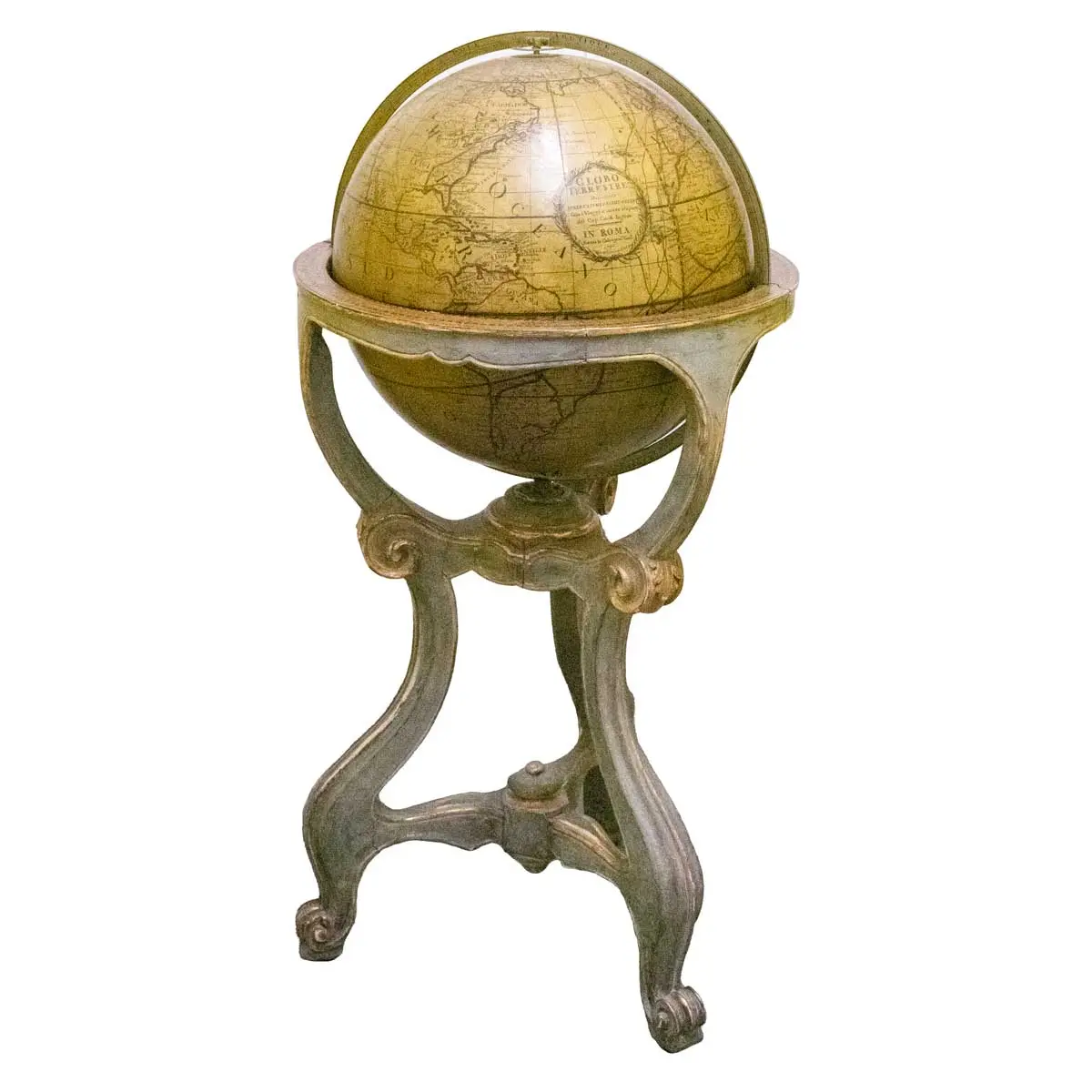
BEAUTIFUL ROCOCO GLOBE BY CASSINI
Rome 1790, 49cm. Twelve Coloured Gores, Brass Meridien Ring, Hour Circle and Horizon Ring set within a Tall Elaborate Rococo Stand with carved legs.
The most important globe maker of the eighteenth century in Italy was Giovanni Maria Cassini (fl. 1790), an engraver, and a geographer of distinction. This prolific engraver and mapmaker created a new terrestrial globe based on the latest geographic discoveries. Unlike many other globes of the time, Cassini’s terrestrial globe design included routes from the daring voyages of the late Captain James Cook. These voyages, beginning in 1768 and concluding with Cook’s death in 1779, were still recent and of great interest to Europeans when the globe was produced.
Many of his completed globes are still found in Italian museums and libraries. These globes date from 1790 and normally have a diameter of about 35 cm. This very scarce large example however is 49cm, the map being composed of twelve gores cut at latitude 80 degrees both north and south, the polar space having the usual circular disc. Each is furnished with a brass meridian circle within which the sphere may revolve, with an hour circle and a horizon circle, on the surface there are the usual concentric circles, the names of the months, and the principal directions. This terrestrial globe has an author and date legend reading, “Globo terrestre delineato sulle ultime osservazioni con i viaggi e nuove scoperte del Cap. Cook inglese. In Rome 1790.”
Three differently coloured lines circle the globe and depicted the routes and dates of Cook’s adventures until his tragic death off the coast of Hawaii. Although Cassini’s design was not the first to include Hawaii, the islands were still a recent discovery and would have been an exciting addition. Cook and his crew first arrived at Hawaii, labelled as Owyhee on the globe, in 1778 during their last expedition. Similarly, New Zealand was a recent discovery and was depicted on the globe as a hub of activity during each of Cook’s voyages. During his first voyage, Cook discovered the islands and spent months painstakingly charting the area. Not included on the map is the continent of Antarctica, which was not fully discovered until thirty years after the globe was created. On his second voyage, Cook ventured into the icy waters of the Antarctic Circle but could not find the great southern continent.
The globe also included the United States as a small country on the east coast. An ecliptic line also extends around the globe to show the sun’s position as the earth rotates on its axis.
Cassini gathered most of his geographic information for the globe from other maps and atlases. He cited works published by the Academie des Sciences and the well-known French cartographer, Robert de Vaugondy.
Cassini left behind an extensive body of over 780 works, ranging from globe segments to maps, charts, and urban illustrations. He was immensely talented and was involved in every stage of the production of his projects before they were printed or manufactured. He drew and engraved his own designs and learned from some of the best engravers and artists, such as Giovan Battista Piranesi. He has been called the engraver of perspectives and architecture.
Books you may also like
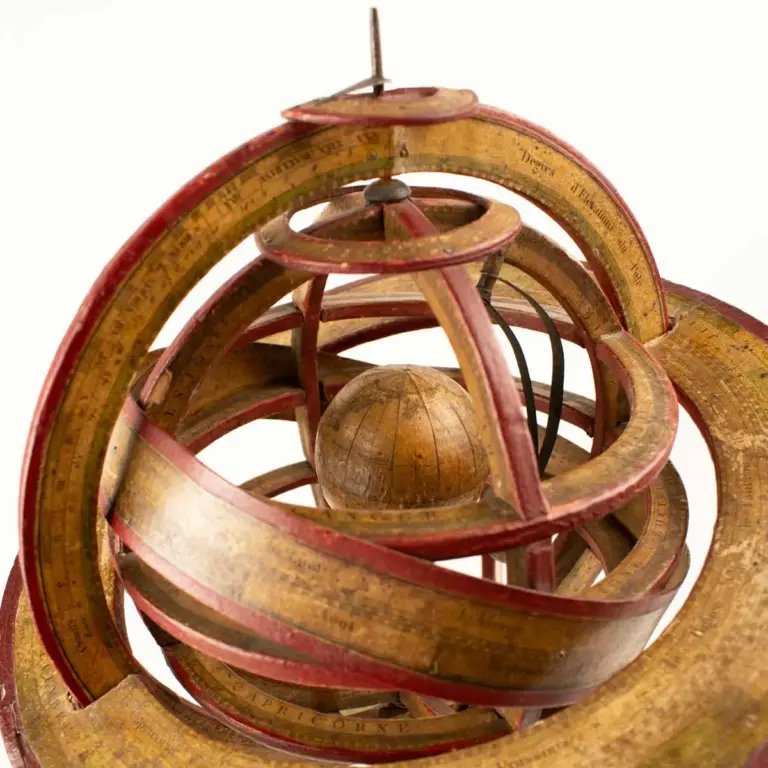
Ptolemaic Armillary Sphere.
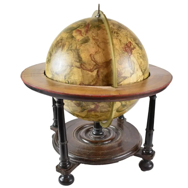
Uranographia / caelum omne hic Complectens / Illa pro ut aucta / et ad annum 1700 Completum / MAGNO ab HEVELIO / correcta est / its
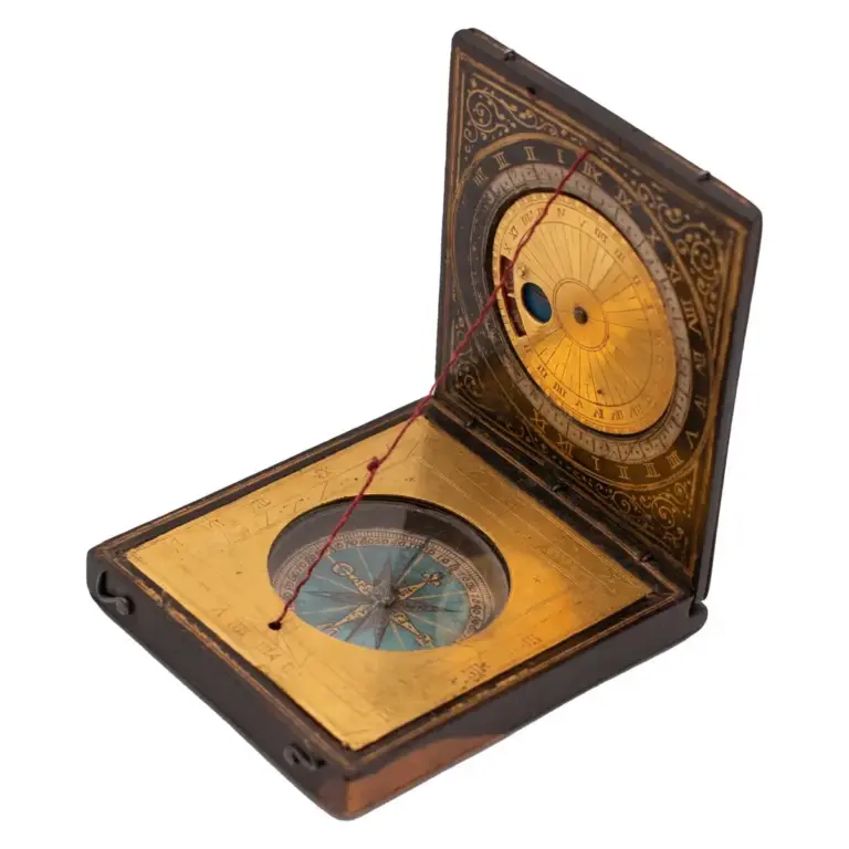
A very fine Painted Wood and Gilt Brass Diptych Dial